
Headline:
Flood Advisory issued April 3 at 4:07AM CDT until April 3 at 6:15AM CDT by NWS Louisville KY
Event:
Flood Advisory
Urgency:
Expected
Effective:
April 3, 2025 - 2:07am
Expires:
April 3, 2025 - 4:15am
Description:
* WHAT...Flooding caused by excessive rainfall continues.
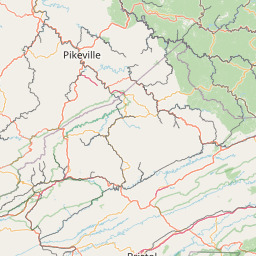
* WHERE...A portion of central Kentucky, including the following
counties, Breckinridge, Bullitt, Franklin, Grayson, Hardin, Hart,
Jefferson, Larue, Meade, Nelson, Shelby and Spencer.
* WHEN...Until 615 AM CDT /715 AM EDT/.
* IMPACTS...Minor flooding in low-lying and poor drainage areas.
* ADDITIONAL DETAILS...
- At 407 AM CDT /507 AM EDT/, Doppler radar indicated heavy
rain due to thunderstorms. Minor flooding is ongoing or
expected to begin shortly in the advisory area. Between 1 and
3 inches of rain have fallen.
- Additional rainfall amounts of 0.5 to 1 inch are expected
over the area. This additional rain will result in minor
flooding.
- Some locations that will experience flooding include...
Elizabethtown, Shelbyville, Bardstown, Shepherdsville,
Leitchfield, Hodgenville, Taylorsville, Radcliff, Mount
Washington and Hillview.
- http://www.weather.gov/safety/flood
Instruction:
Turn around, don't drown when encountering flooded roads. Most flood
deaths occur in vehicles.
Be especially cautious at night when it is harder to recognize the
dangers of flooding.
Area Description:
Breckinridge, KY; Bullitt, KY; Franklin, KY; Grayson, KY; Hardin, KY; Hart, KY; Jefferson, KY; Larue, KY; Meade, KY; Nelson, KY; Shelby, KY; Spencer, KY
Forcast Office:
NWS Louisville KY


Leaflet | OSM Mapnik