
Headline:
Flood Advisory issued April 5 at 10:19PM CDT until April 26 at 7:00AM CDT by NWS Memphis TN
Event:
Flood Advisory
Urgency:
Expected
Effective:
April 5, 2025 - 8:19pm
Expires:
April 7, 2025 - 8:30am
Description:
...The National Weather Service in Memphis has issued a Flood
Advisory for the following rivers in Mississippi...Tennessee...
Arkansas...
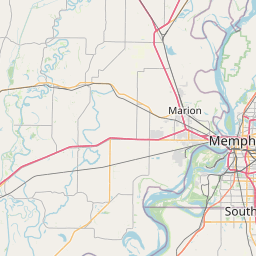
Mississippi River at Memphis
For the Lower Mississippi River...including Tiptonville,
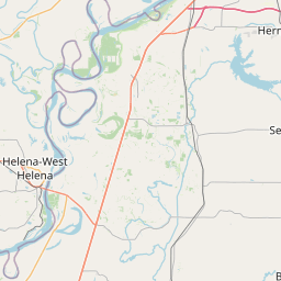
Caruthersville, Osceola, Memphis, Tunica Mhoon Landing, Helena...
elevated river levels are forecast.
* WHAT...Flooding caused by excessive rainfall is expected.
* WHERE...Mississippi River at Memphis.
* WHEN...From this evening to Saturday, April 26.
* IMPACTS...At 37.0 feet, In Arkansas, the grain terminal and nearby
businesses south of West Memphis are being covered by water. At
Memphis, the fuel facility south of the river gauge is flooding.
* ADDITIONAL DETAILS...
- At 10:00 PM CDT Saturday the stage was 21.5 feet.
- Forecast...The river is expected to rise above flood stage
Wednesday evening to a crest of 37.5 feet Monday, April 14.
It will then fall below flood stage Wednesday, April 23.
- Action stage is 28.0 feet.
- Flood stage is 34.0 feet.
- http://www.weather.gov/safety/flood
Instruction:
If you encounter a flooded roadway, turn around and find an
alternative route.
Additional information is available at weather.gov/memphis.
The next statement will be issued as needed.
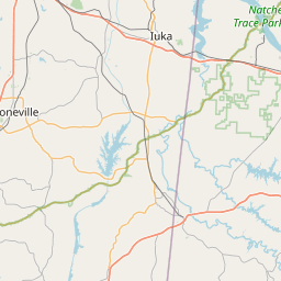
Area Description:
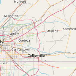
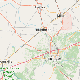
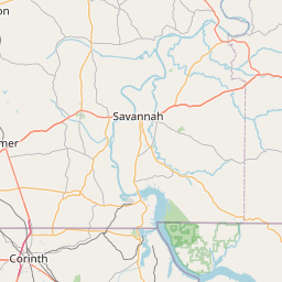
Crittenden, AR; DeSoto, MS; Shelby, TN
Forcast Office:
NWS Memphis TN

Leaflet | OSM Mapnik