
Headline:
Flood Warning issued April 5 at 9:50AM CDT until April 9 at 12:22PM CDT by NWS St Louis MO
Event:
Flood Warning
Urgency:
Immediate
Effective:
April 5, 2025 - 7:50am
Expires:
April 6, 2025 - 8:00pm
Description:
...The Flood Warning continues for the following rivers in
Missouri...
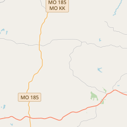
Big River at Byrnesville.
River forecasts are based on observed precipitation and forecast
precipitation for the next 24 hours.
* WHAT...Minor flooding is occurring and moderate flooding is
forecast.
* WHERE...Big River at Byrnesville.
* WHEN...Until Wednesday afternoon.
* IMPACTS...At 26.0 feet, Based on NWC stage-based categorical flood
inundation mapping, at this height water will begin flooding the
outfields of the 2 easternmost ball fields at the Northwest
Jefferson County Sports Complex.
* ADDITIONAL DETAILS...
- At 8:45 AM CDT Saturday the stage was 18.2 feet.
- Recent Activity...The maximum river stage in the 24 hours
ending at 8:45 AM CDT Saturday was 18.3 feet.
- Forecast...The river is expected to rise to a crest of 24.3
feet tomorrow evening. It will then fall below flood stage
early Tuesday afternoon.
- Flood stage is 16.0 feet.
Instruction:
Motorists should not attempt to drive around barricades or drive
cars through flooded areas.
Rainfall heavier than forecast could cause river levels to rise even
higher than predicted. The National Weather Service will monitor
this developing situation and issue follow up statements as
conditions change.
This product, along with additional weather and stream information,
is available at https://water.noaa.gov/wfo/lsx
Area Description:
Jefferson, MO
Forcast Office:
NWS St Louis MO
Leaflet | OSM Mapnik