
Headline:
Flood Warning issued April 5 at 12:24PM EDT until April 15 at 6:41AM EDT by NWS Indianapolis IN
Event:
Flood Warning
Urgency:
Immediate
Effective:
April 5, 2025 - 9:24am
Expires:
April 6, 2025 - 12:30am
Description:
...The Flood Warning continues for the following rivers in Indiana...
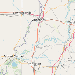
White River.
Eel River at Bowling Green.
.Significant and some major flooding is already occurring or
expected to develop along the White River due to multiple rounds of
heavy rainfall that have added up to 6 to 8 inches in the past week
and additional rainfall is expected into Sunday morning. Minor
flooding is expected from Muncie through Noblesville, with
significant flooding from Nora through Centerton, and major flooding
from Spencer through Hazleton. The crest on the White is expected to
be at Centerton by Sunday morning and Spencer Monday morning.
* WHAT...Minor flooding is occurring and major flooding is forecast.
* WHERE...White River at Edwardsport.
* WHEN...Until Tuesday, April 15.
* IMPACTS...At 26.0 feet, Many agricultural levees overflow.
Evacuations are necessary in northeast Edwardsport. Officials
closely monitor Levee Unit #8. Many local roads are impassable.
Rail traffic halts at Elnora. White River is over two miles wide
at U.S. Highway 50.
* ADDITIONAL DETAILS...
- At 7:00 AM EDT Saturday /6:00 AM CDT Saturday/ the stage was
20.0 feet.
- Recent Activity...The maximum river stage in the 24 hours
ending at 7:00 AM EDT Saturday /6:00 AM CDT Saturday/ was
20.0 feet.
- Forecast...The river is expected to rise to a crest of 26.1
feet Tuesday evening. It will then fall below flood stage
Monday, April 14.
- Flood stage is 15.0 feet.
- http://www.weather.gov/safety/flood
Instruction:
Turn around, don't drown when encountering flooded roads. Most flood
deaths occur in vehicles.
Motorists should not attempt to drive around barricades or drive
cars through flooded areas.
Caution is urged when walking near riverbanks.
Additional information is available at www.weather.gov/ind.
The next statement should be issued late tonight by around 330 AM
EDT /230 AM CDT/.
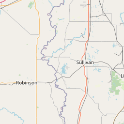
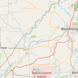
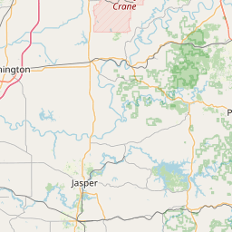
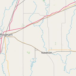
Area Description:
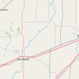
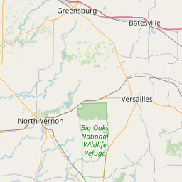
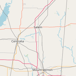
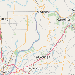
Daviess, IN; Gibson, IN; Knox, IN; Pike, IN
Forcast Office:
NWS Indianapolis IN
Leaflet | OSM Mapnik