
Headline:
Flood Warning issued April 5 at 11:26AM CDT until April 7 at 8:42AM CDT by NWS St Louis MO
Event:
Flood Warning
Urgency:
Immediate
Effective:
April 5, 2025 - 9:26am
Expires:
April 6, 2025 - 9:30pm
Description:
...The Flood Warning continues for the following rivers in
Missouri...
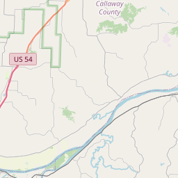
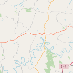
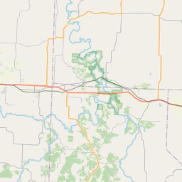
Maries River near Westphalia.
River forecasts are based on observed precipitation and forecast
precipitation for the next 24 hours.
* WHAT...Moderate flooding is occurring and moderate flooding is
forecast.
* WHERE...Maries River near Westphalia.
* WHEN...Until Monday morning.
* IMPACTS...At 14.3 feet, County Road 608 north of the bridge begins
flooding near this height.
* ADDITIONAL DETAILS...
- At 11:00 AM CDT Saturday the stage was 16.3 feet.
- Recent Activity...The maximum river stage in the 24 hours
ending at 11:00 AM CDT Saturday was 20.1 feet.
- Forecast...The river is expected to fall below flood stage
just after midnight tonight and continue falling to 2.5 feet
Thursday morning.
- Flood stage is 10.0 feet.
Instruction:
Turn around, don't drown when encountering flooded roads. Most flood
deaths occur in vehicles.
Rainfall heavier than forecast could cause river levels to rise even
higher than predicted. The National Weather Service will monitor
this developing situation and issue follow up statements as
conditions change.
This product, along with additional weather and stream information,
is available at https://water.noaa.gov/wfo/lsx
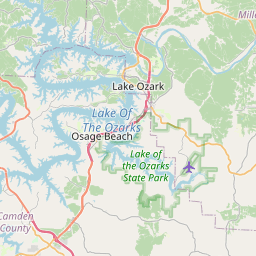
Area Description:
Osage, MO
Forcast Office:
NWS St Louis MO


Leaflet | OSM Mapnik