
Headline:
Flood Warning issued April 5 at 12:37PM EDT until April 8 at 8:00AM EDT by NWS Northern Indiana
Event:
Flood Warning
Urgency:
Immediate
Effective:
April 5, 2025 - 9:37am
Expires:
April 6, 2025 - 3:45am
Description:
...The Flood Warning continues for the following rivers in Ohio...
Indiana...
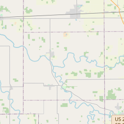
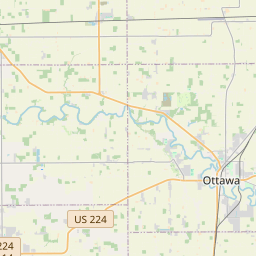
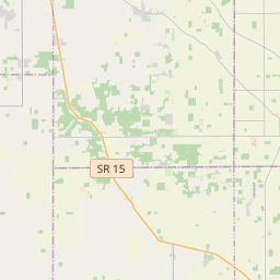
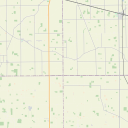
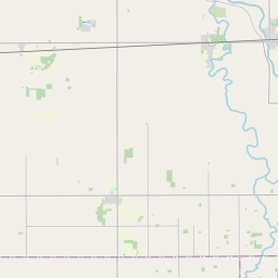
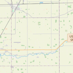
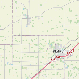
Blanchard River at Ottawa affecting Putnam County.
Maumee River at Napoleon affecting Henry County.
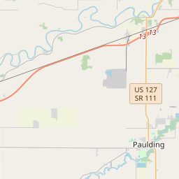
Maumee River at Fort Wayne affecting Paulding and Allen IN
Counties.
Saint Joseph River Ohio below Montpelier affecting Williams
County.
Saint Joseph River Ohio near Newville affecting De Kalb, Defiance
and Allen IN Counties.
Tiffin River at Stryker affecting Williams, Fulton OH and
Defiance Counties.
...The Flood Warning is extended for the following rivers in Ohio...
Indiana...
Maumee River near Defiance affecting Defiance and Henry Counties.
Saint Marys River near Decatur affecting Adams, Van Wert and
Allen IN Counties.
For the Blanchard River...including Ottawa...Minor flooding is
forecast.
For the Maumee River...including Fort Wayne, Defiance, Napoleon...
Minor flooding is forecast.
For the Saint Joseph River Ohio...including Montpelier, Newville...
Moderate flooding is forecast.
For the Saint Marys River...including Decatur...Minor flooding is
forecast.
For the Tiffin River...including Stryker...Minor flooding is
forecast.
* WHAT...Minor flooding is forecast.
* WHERE...Blanchard River at Ottawa.
* WHEN...From late Sunday night to Tuesday morning.
* IMPACTS...At 23.0 feet, Lowland flooding occurs mainly in south
Ottawa. Flood water also gets into low farmlands.
* ADDITIONAL DETAILS...
- At 11:30 AM EDT Saturday the stage was 21.4 feet.
- Forecast...The river is expected to rise to a crest of 23.0
feet early Monday morning. It will then fall below flood
stage Monday morning.
- Flood stage is 23.0 feet.
- http://www.weather.gov/safety/flood
Instruction:
Turn around, don't drown when encountering flooded roads. Most flood
deaths occur in vehicles.
Motorists should not attempt to drive around barricades or drive
cars through flooded areas.
Be especially cautious at night when it is harder to recognize the
dangers of flooding.
Detailed river forecasts and additional information can be found at
www.weather.gov/iwx under Rivers and Lakes.
The next statement will be issued Sunday morning at 645 AM EDT.
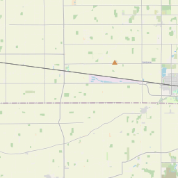
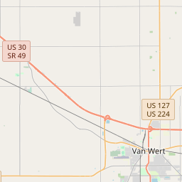
Area Description:
Putnam, OH
Forcast Office:
NWS Northern Indiana


Leaflet | OSM Mapnik