
Headline:
Flood Warning issued April 5 at 12:51PM EDT until April 10 at 3:42AM EDT by NWS Louisville KY
Event:
Flood Warning
Urgency:
Immediate
Effective:
April 5, 2025 - 9:51am
Expires:
April 6, 2025 - 11:00am
Description:
...The Flood Warning is extended for the following rivers in
Kentucky...
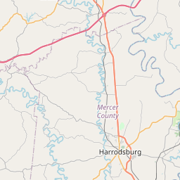
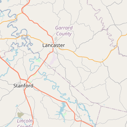
Kentucky River at High Bridge Lock affecting Garrard, Mercer and
Jessamine Counties.
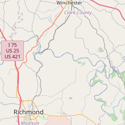
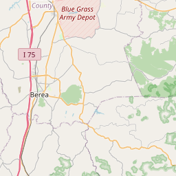
Kentucky River at Ford Lock affecting Madison and Clark Counties.
...The Flood Warning continues for the following rivers in
Kentucky...
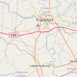
Elkhorn Creek Near Peaks Mill affecting Franklin County.
Kentucky River at Frankfort Lock affecting Anderson, Franklin and
Woodford Counties.
Kentucky River at Lockport Lock affecting Owen, Henry and Carroll
Counties.
.Heavy rain from the past several days will cause the river to rise.
* WHAT...Major flooding is occurring and major flooding is forecast.
* WHERE...Kentucky River at High Bridge Lock.
* WHEN...Until early Thursday morning.
* IMPACTS...At 30.0 feet, Large portion of Dix Drive floods.
At 36.0 feet, Water enters homes along Dix Drive.
At 39.0 feet, Dix Drive floods completely.
* ADDITIONAL DETAILS...
- At 12:15 PM EDT Saturday the stage was 39.4 feet.
- Bankfull stage is 38.6 feet.
- Recent Activity...The maximum river stage in the 24 hours
ending at 12:15 PM EDT Saturday was 39.5 feet.
- Forecast...The river is expected to rise to a crest of 42.8
feet early Monday morning. It will then fall below flood
stage late Wednesday evening.
- Flood stage is 30.0 feet.
- Flood History...This crest compares to a previous crest of
42.4 feet on 04/16/1972.
- http://www.weather.gov/safety/flood
Instruction:
Be especially cautious at night when it is harder to recognize the
dangers of flooding.
Turn around, don't drown when encountering flooded roads. Most flood
deaths occur in vehicles.
Motorists should not attempt to drive around barricades or drive
cars through flooded areas.
Additional information is available at www.weather.gov/lmk.
The next statement will be issued by Sunday afternoon at 200 PM EDT.
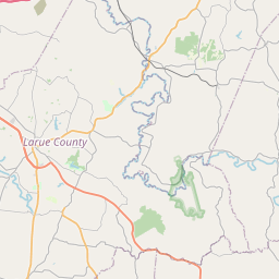
Area Description:
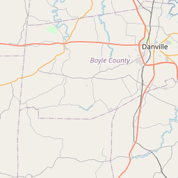
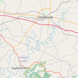
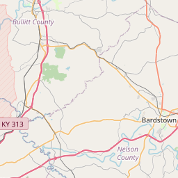
Garrard, KY; Jessamine, KY; Mercer, KY
Forcast Office:
NWS Louisville KY
Leaflet | OSM Mapnik