
Headline:
Flood Warning issued April 5 at 4:31PM CDT until April 24 at 11:48PM CDT by NWS Memphis TN
Event:
Flood Warning
Urgency:
Immediate
Effective:
April 5, 2025 - 2:31pm
Expires:
April 7, 2025 - 2:45am
Description:
...The Flood Warning continues for the following rivers in
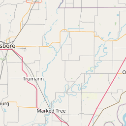
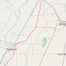
Missouri...Tennessee...Arkansas...
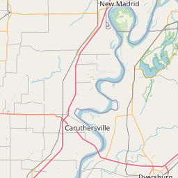
Mississippi River at Caruthersville
For the Lower Mississippi River...including Caruthersville...Minor
flooding is forecast.
* WHAT...Minor flooding is forecast.
* WHERE...Mississippi River at Caruthersville.
* WHEN...From Sunday afternoon to Thursday, April 24.
* IMPACTS...At 40.5 feet, In Missouri, the boat fabrication factory
north of Caruthersville is mostly underwater. Some of the
floodwall at Caruthersville has a foot of water against it. Access
road to the grain elevator northeast of Huffman, Arkansas is
flooded. West end of Bradley Road in Lauderdale County, Tennessee
is flooded.
* ADDITIONAL DETAILS...
- At 4:00 PM CDT Saturday the stage was 26.8 feet.
- Forecast...The river is expected to rise above flood stage
tomorrow afternoon to a crest of 40.5 feet Saturday, April
12.
- Flood stage is 32.0 feet.
- http://www.weather.gov/safety/flood
Instruction:
Turn around, don't drown when encountering flooded roads. Most flood
deaths occur in vehicles.
Additional information is available at weather.gov/memphis.
The next statement will be issued as needed.
Area Description:
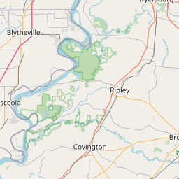
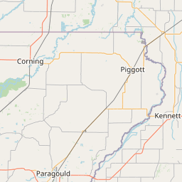
Mississippi, AR; Pemiscot, MO; Dyer, TN; Lake, TN; Lauderdale, TN
Forcast Office:
NWS Memphis TN

Leaflet | OSM Mapnik