
Headline:
Flood Warning issued April 5 at 8:23PM CDT until April 6 at 9:00AM CDT by NWS Paducah KY
Event:
Flood Warning
Urgency:
Expected
Effective:
April 5, 2025 - 6:23pm
Expires:
April 6, 2025 - 7:00am
Description:
Light rain will continue through this evening before
ending overnight. After the rain ends, it will take several hours
before the flood waters to recede along creeks and streams.
River levels will remain elevated or continue to rise over the next
several days.
* WHAT...Flooding caused by excessive rainfall will continue.
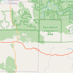
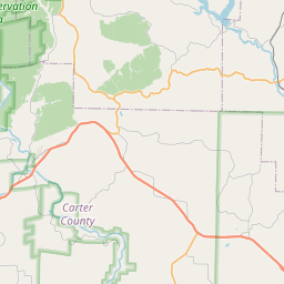
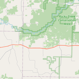
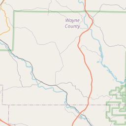
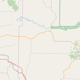
* WHERE...A portion of southeast Missouri, including the following
county, Carter.
* WHEN...Until 900 AM CDT Sunday.
* IMPACTS...Flooding of rivers, creeks, streams, and other low-lying
and flood-prone locations is imminent or occurring.
* ADDITIONAL DETAILS...
- At 821 PM CDT, Emergency management reported heavy rain in
the warned area. Flooding is already occurring. Between 4 and
7 inches of rain have fallen.
- Additional rainfall amounts up to 0.5 inches are possible in
the warned area.
- Some locations that will experience flooding include...
Van Buren, Ellsinore, Hunter, Fremont and Grandin.
- http://www.weather.gov/safety/flood
Instruction:
Turn around, don't drown when encountering flooded roads. Most flood
deaths occur in vehicles.
Be especially cautious at night when it is harder to recognize the
dangers of flooding.
In hilly terrain there are hundreds of low water crossings which are
potentially dangerous in heavy rain. Do not attempt to cross flooded
roads. Find an alternate route.
Area Description:
Carter, MO
Forcast Office:
NWS Paducah KY


Leaflet | OSM Mapnik