
Headline:
Flood Warning issued April 6 at 2:19AM EDT until April 7 at 3:43AM EDT by NWS Indianapolis IN
Event:
Flood Warning
Urgency:
Immediate
Effective:
April 5, 2025 - 11:19pm
Expires:
April 6, 2025 - 2:30pm
Description:
...The Flood Warning is extended for the following rivers in
Indiana...
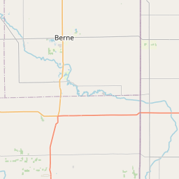
Mill Creek near Cataract.
Wildcat Creek near Jerome.
Mississinewa River near Ridgeville.
.Widespread and significant flooding is in progress. Rainfall
amounts of three to over six inches have fallen over the past few
days.
* WHAT...Moderate flooding is occurring and moderate flooding is
forecast.
* WHERE...Mississinewa River near Ridgeville.
* WHEN...Until late tonight.
* IMPACTS...At 14.0 feet, State Road 1 south of the intersection
with SR 28 in western Randolph County is impassable. Extensive
agricultural flooding in progress. At least a few county roads
flooded including West CR 825 east of SR 1 and West River Road
west of SR 1.
* ADDITIONAL DETAILS...
- At 2:00 AM EDT Sunday the stage was 13.6 feet.
- Recent Activity...The maximum river stage in the 24 hours
ending at 2:00 AM EDT Sunday was 14.0 feet.
- Forecast...The river is expected to fall below flood stage
late this evening and continue falling and remain below flood
stage.
- Flood stage is 10.0 feet.
- http://www.weather.gov/safety/flood
Instruction:
To escape rising water, take the shortest path to higher ground.
Please report observed flooding to local emergency services or law
enforcement and request they pass this information to the National
Weather Service when you can do so safely.
Additional information is available at www.weather.gov/ind.
The next statement should be issued this afternoon by around 530 PM
EDT.
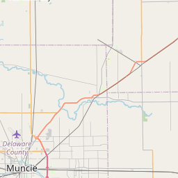
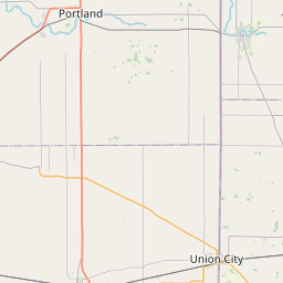
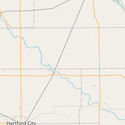
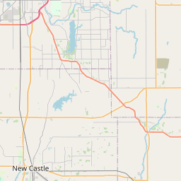
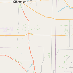
Area Description:
Delaware, IN; Randolph, IN
Forcast Office:
NWS Indianapolis IN


Leaflet | OSM Mapnik