
Headline:
Flood Warning issued April 6 at 2:22AM EDT until April 10 at 8:51AM EDT by NWS Louisville KY
Event:
Flood Warning
Urgency:
Immediate
Effective:
April 5, 2025 - 11:22pm
Expires:
April 6, 2025 - 5:30pm
Description:
...Forecast flooding changed from Minor to Moderate severity and
increased in duration for the following rivers in Kentucky...
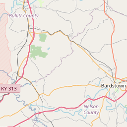
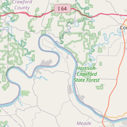
Salt River at Shepherdsville affecting Bullitt County.
.Heavy rain from the past several days has caused the river to rise
with additional rainfall expected through Sunday.
* WHAT...Minor flooding is occurring and moderate flooding is
forecast.
* WHERE...Salt River at Shepherdsville.
* WHEN...Until Thursday morning.
* IMPACTS...At 32.0 feet, Water covers low spot of KY 61 at north
end of bridge.
At 33.0 feet, Corner of First and Buckman Street north of bridge
flood.
At 35.0 feet, Water covers several low roads near river.
At 36.0 feet, Access road into Frank E. Simon park floods.
* ADDITIONAL DETAILS...
- At 1:30 AM EDT Sunday the stage was 34.1 feet.
- Bankfull stage is 29.0 feet.
- Recent Activity...The maximum river stage in the 24 hours
ending at 1:30 AM EDT Sunday was 34.1 feet.
- Forecast...The river is expected to rise to a crest of 35.9
feet tomorrow morning. It will then fall below flood stage
early Thursday morning.
- Flood stage is 32.0 feet.
- Flood History...This crest compares to a previous crest of
34.9 feet on 02/26/2018.
- http://www.weather.gov/safety/flood
Instruction:
Caution is urged when walking near riverbanks.
Turn around, don't drown when encountering flooded roads. Most flood
deaths occur in vehicles.
Motorists should not attempt to drive around barricades or drive
cars through flooded areas.
Additional information is available at www.weather.gov/lmk.
The next statement will be issued by this evening at 830 PM EDT.
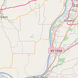
Area Description:
Bullitt, KY
Forcast Office:
NWS Louisville KY
Leaflet | OSM Mapnik