
Headline:
Flood Warning issued April 6 at 2:40AM CDT until April 6 at 8:45AM CDT by NWS Memphis TN
Event:
Flood Warning
Urgency:
Expected
Effective:
April 6, 2025 - 12:40am
Expires:
April 6, 2025 - 6:45am
Description:
* WHAT...Flooding caused by excessive rainfall is expected.
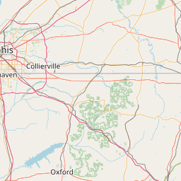
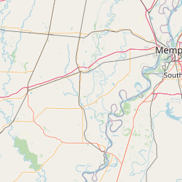
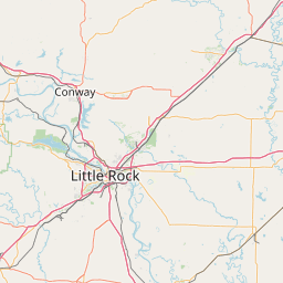
* WHERE...Portions of East Arkansas, including the following county,
Mississippi, Southeast Missouri, including the following county,
Pemiscot, and West Tennessee, including the following counties,
Crockett, Dyer, Gibson, Haywood, Lake, Lauderdale, Madison, Obion
and Weakley.
* WHEN...Until 845 AM CDT Sunday.
* IMPACTS...Flooding of rivers, creeks, streams, and other low-lying
and flood-prone locations is imminent or occurring. Low-water
crossings are inundated with water and may not be passable. It
will take several hours for all the water from these storms to
work through local drainage systems in urban areas.
* ADDITIONAL DETAILS...
- At 240 AM CDT, Doppler radar indicated heavy rain due to
thunderstorms. Flooding is ongoing or expected to begin
shortly in the warned area. Between 2 and 5 inches of rain
have fallen.
- Flooding impacts will continue, but no additional rainfall is
expected.
- Some locations that will experience flooding include...
Dyersburg, Martin, Union City, Humboldt, Trenton, Reelfoot
Lake State Park, Tiptonville, Newbern, Dresden, Alamo, Bells,
South Fulton, Dyer, Greenfield, Ridgely, Three Way, Troy,
Kenton, Rutherford and Obion.
- http://www.weather.gov/safety/flood
Instruction:
Turn around, don't drown when encountering flooded roads. Most flood
deaths occur in vehicles.
Area Description:
Mississippi, AR; Pemiscot, MO; Crockett, TN; Dyer, TN; Gibson, TN; Haywood, TN; Lake, TN; Lauderdale, TN; Madison, TN; Obion, TN; Weakley, TN
Forcast Office:
NWS Memphis TN


Leaflet | OSM Mapnik