
Headline:
Flood Warning issued April 6 at 5:48AM EDT by NWS Louisville KY
Event:
Flood Warning
Urgency:
Immediate
Effective:
April 6, 2025 - 2:48am
Expires:
April 6, 2025 - 12:00pm
Description:
...The Flood Warning continues for the following rivers in
Kentucky...
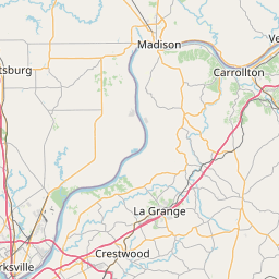
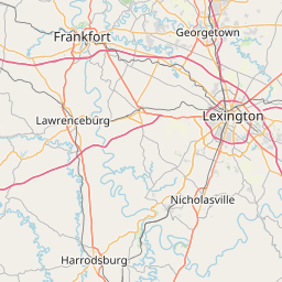
Kentucky River at Frankfort Lock affecting Woodford, Franklin and
Anderson Counties.
Kentucky River at High Bridge Lock affecting Jessamine, Garrard
and Mercer Counties.
Kentucky River at Ford Lock affecting Madison and Clark Counties.
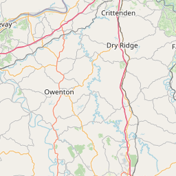
Kentucky River at Lockport Lock affecting Owen, Henry and Carroll
Counties.
Elkhorn Creek Near Peaks Mill affecting Franklin County.
...The Flood Warning is extended for the following rivers in
Kentucky...
Kentucky River at Camp Nelson Lock affecting Jessamine and
Garrard Counties.
.Heavy rain from the past several days will cause the river to rise.
* WHAT...Major flooding is occurring and major flooding is forecast.
This approaches the flood of record.
* WHERE...Kentucky River at Lockport Lock.
* WHEN...Until further notice.
* IMPACTS...At 30.0 feet, Parts of Eagle Creek campground, between
Worthville and Perry, flood along KY 355.
At 33.0 feet, Low lying roads near the river along and west of KY
355 flood.
At 36.0 feet, Low areas of Point of Rock and Old Landing Roads,
with water encroaching on low lying roads near Perry Park and
Monterey.
At 41.0 feet, Water approaches some outbuildings and barns in
Monterey. Some yards beetween Eagle Lane and the river in Perry
Park flood, with flooding along some low areas of Old Landing Road.
At 43.0 feet, KY 389 floods near Lockport. Water approaches some
homes along High St. in Monterey. Some stretches of 355 north of
Perry Park flood, as well as near Gratz.
At 45.0 feet, Water surrounds some homes on High Street in
Monterey. Point of Rock and Old Landing Rd flood in several areas.
Route 355 near Gratz is flooded, as well as Crittenden Street east
of town.
At 47.0 feet, Some homes in Monterey near High Street flood, with
Point of Rock Road and long stretches of Old Landing Road flooded.
At 49.0 feet, Some homes in Monterey along High Street and Worth
streets likely flood, with Taylor Street west of town flooded.
Long stretches of Old Landing Road and Point of Rock Road are
flooded. Water approaches homes along Crittenden Street in Gratz,
with stretches of Ky Route 355 and Crittenden Road flooded.
At 51.0 feet, More than half of Monterey floods. Water is four
feet deep in homes closest to the river. Water is up to two feet
deep on Taylor St. Flooding may occur in low lying buildings along
Crittenden Street in Gratz.
At 54.0 feet, Low lying roads near the river along and west of KY
355 flood.
* ADDITIONAL DETAILS...
- At 5:30 AM EDT Sunday the stage was 49.8 feet.
- Bankfull stage is 30.0 feet.
- Recent Activity...The maximum river stage in the 24 hours
ending at 5:30 AM EDT Sunday was 49.8 feet.
- Forecast...The river is expected to rise to a crest of 57.0
feet early Tuesday morning.
- Flood stage is 33.0 feet.
- Flood History...No available flood history.
- http://www.weather.gov/safety/flood
Instruction:
Turn around, don't drown when encountering flooded roads. Most flood
deaths occur in vehicles.
Motorists should not attempt to drive around barricades or drive
cars through flooded areas.
Additional information is available at www.weather.gov/lmk.
The next statement will be issued by this afternoon at 300 PM EDT.
Area Description:
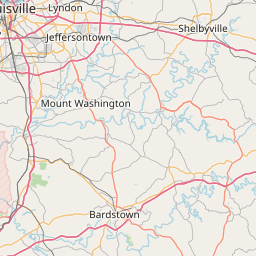
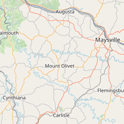
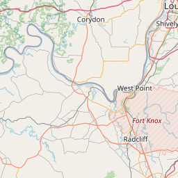
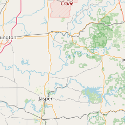
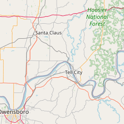
Carroll, KY; Henry, KY; Owen, KY
Forcast Office:
NWS Louisville KY
Leaflet | OSM Mapnik