
Headline:
Flood Warning issued April 6 at 12:41PM EDT by NWS Louisville KY
Event:
Flood Warning
Urgency:
Immediate
Effective:
April 6, 2025 - 9:41am
Expires:
April 7, 2025 - 11:00am
Description:
...The Flood Warning continues for the following rivers in
Kentucky...Indiana...
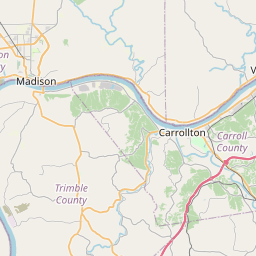
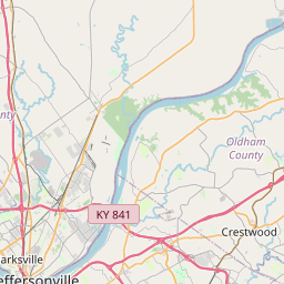
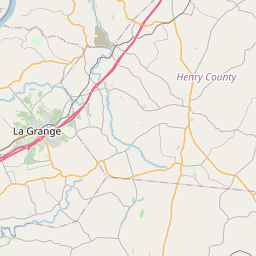
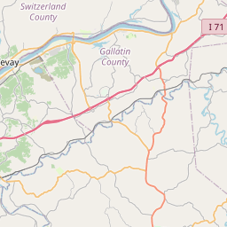
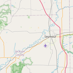
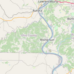
Ohio River at Clifty Creek affecting Trimble and Jefferson
Counties.
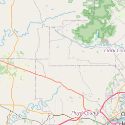
Ohio River at McAlpine Lower affecting Clark, Hardin, Jefferson,
Floyd, Harrison and Meade Counties.
Ohio River at McAlpine Upper affecting Clark, Oldham, Jefferson
and Floyd Counties.
Ohio River at Cannelton Lock and Dam affecting Breckinridge,
Perry, Crawford and Hancock Counties.
Ohio River at Tell City affecting Perry and Hancock Counties.
.Heavy rain from the past several days will cause the river to rise.
* WHAT...Minor flooding is occurring and moderate flooding is
forecast.
* WHERE...Ohio River at Clifty Creek.
* WHEN...Until further notice.
* IMPACTS...At 457.0 feet, Water covers the west end of First St.
Half of Milton KY is flooded. Entrance to Clifty Creek State Park
is flooded.
At 458.0 feet, Water reaches State Highway 56 east of Clifty Creek
Power Plant. Clifty Creek Park south entrance floods.
* ADDITIONAL DETAILS...
- At 12:00 PM EDT Sunday the stage was 453.6 feet.
- Bankfull stage is 448.0 feet.
- Recent Activity...The maximum river stage in the 24 hours
ending at 12:00 PM EDT Sunday was 453.6 feet.
- Forecast...The river is expected to rise to a crest of 458.2
feet early Tuesday afternoon.
- Flood stage is 451.0 feet.
- Flood History...This crest compares to a previous crest of
458.8 feet on 04/18/1948.
- http://www.weather.gov/safety/flood
Instruction:
Motorists should not attempt to drive around barricades or drive
cars through flooded areas.
Caution is urged when walking near riverbanks.
Turn around, don't drown when encountering flooded roads. Most flood
deaths occur in vehicles.
Additional information is available at www.weather.gov/lmk.
The next statement will be issued by Monday afternoon at 200 PM EDT
/100 PM CDT/.
Area Description:
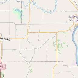
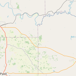
Jefferson, IN; Trimble, KY
Forcast Office:
NWS Louisville KY

Leaflet | OSM Mapnik