
Headline:
Flood Warning issued April 10 at 8:27PM CDT until April 14 at 1:00PM CDT by NWS Memphis TN
Event:
Flood Warning
Urgency:
Immediate
Effective:
April 10, 2025 - 6:27pm
Expires:
April 12, 2025 - 6:30am
Description:
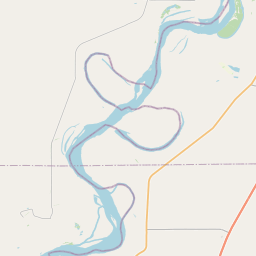
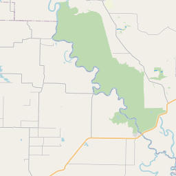
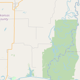
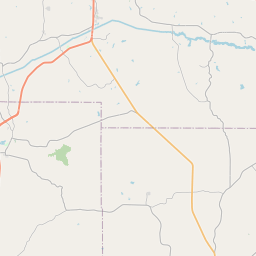
...The Flood Warning continues for the following rivers in
Mississippi...
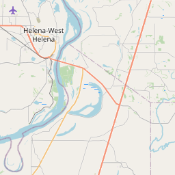
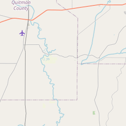
Coldwater River at Marks
Coldwater River near Sarah
For the Coldwater River...including Sarah, Marks...Minor flooding is
forecast.
* WHAT...Minor flooding is occurring and minor flooding is forecast.
This approaches the flood of record.
* WHERE...Coldwater River at Marks.
* WHEN...Until early Monday afternoon.
* IMPACTS...At 41.0 feet, Widespread flooding of residential areas
and farmland is occurring in northern Quitman county. Numerous
secondary roads are flooded.
* ADDITIONAL DETAILS...
- At 8:00 PM CDT Thursday the stage was 40.7 feet.
- Recent Activity...The maximum river stage in the 24 hours
ending at 8:00 PM CDT Thursday was 40.7 feet.
- Forecast...The river is expected to fall below flood stage
Monday morning and continue falling to 38.5 feet Tuesday
evening.
- Flood stage is 39.0 feet.
- http://www.weather.gov/safety/flood
Instruction:
Motorists should not attempt to drive around barricades or drive
cars through flooded areas.
Additional information is available at weather.gov/memphis.
The next statement will be issued as needed.
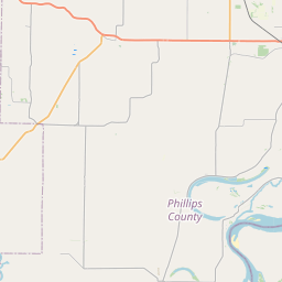
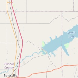
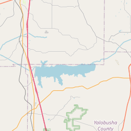
Area Description:
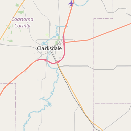
Quitman, MS
Forcast Office:
NWS Memphis TN
Leaflet | OSM Mapnik