
Headline:
Flood Warning issued April 11 at 10:26AM CDT by NWS Memphis TN
Event:
Flood Warning
Urgency:
Immediate
Effective:
April 11, 2025 - 8:26am
Expires:
April 12, 2025 - 8:30pm
Description:
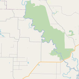
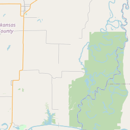
...The Flood Warning is extended for the following rivers in
Mississippi...
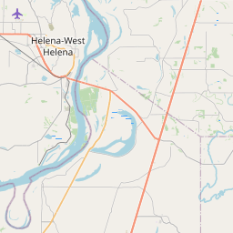
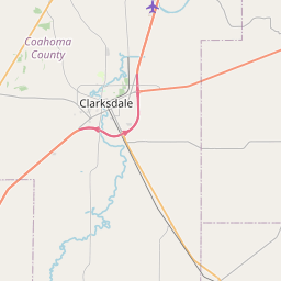
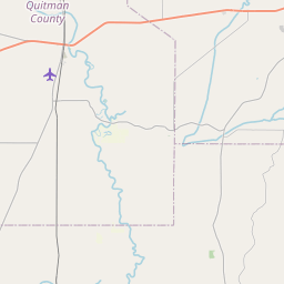
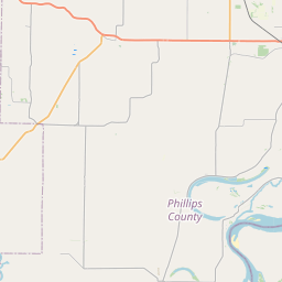
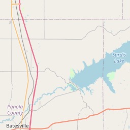
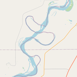
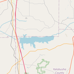
Coldwater River at Marks
...The Flood Warning continues for the following rivers in
Mississippi...
Coldwater River near Sarah
For the Coldwater River...including Sarah, Marks...Minor flooding is
forecast.
* WHAT...Minor flooding is occurring.
* WHERE...Coldwater River at Marks.
* WHEN...Until further notice.
* IMPACTS...At 41.0 feet, Widespread flooding of residential areas
and farmland is occurring in northern Quitman county. Numerous
secondary roads are flooded.
* ADDITIONAL DETAILS...
- At 10:00 AM CDT Friday the stage was 40.7 feet.
- Forecast...The river will continue a very slow crest near
40.7 feet. The river is then expected to begin a very slow
fall on Sunday, but will remain above flood stage until at
least the middle of next week.
- Flood stage is 39.0 feet.
- http://www.weather.gov/safety/flood
Instruction:
Turn around, don't drown when encountering flooded roads. Most flood
deaths occur in vehicles.
Motorists should not attempt to drive around barricades or drive
cars through flooded areas.
Additional information is available at weather.gov/memphis.
The next statement will be issued as needed.
Area Description:
Quitman, MS
Forcast Office:
NWS Memphis TN
Leaflet | OSM Mapnik