
Headline:
Flood Warning issued April 12 at 11:57AM EDT until April 15 at 11:00AM EDT by NWS Louisville KY
Event:
Flood Warning
Urgency:
Immediate
Effective:
April 12, 2025 - 8:57am
Expires:
April 13, 2025 - 11:00am
Description:
...The Flood Warning is extended for the following rivers in
Indiana...Kentucky...
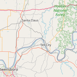
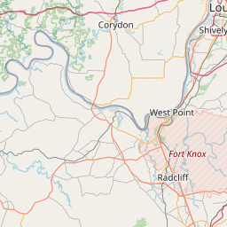
Ohio River at McAlpine Lower affecting Harrison, Floyd, Meade,
Jefferson, Clark and Hardin Counties.
...The Flood Warning continues for the following rivers in Indiana...
Kentucky...
Ohio River at McAlpine Upper affecting Clark, Jefferson, Floyd
and Oldham Counties.
Ohio River at Cannelton Lock and Dam affecting Hancock, Crawford,
Breckinridge and Perry Counties.
Ohio River at Tell City affecting Hancock and Perry Counties.
* WHAT...Moderate flooding is occurring and moderate flooding is
forecast.
* WHERE...Ohio River at Cannelton Lock and Dam.
* WHEN...Until late Tuesday morning.
* IMPACTS...At 39.0 feet, Highway 66 floods near Derby - Dexter area.
At 42.0 feet, Agricultural flooding begins near Cloverport and
Cannelton. Highway 66 floods near Derby and Dexter. Rocky Point
Girl Scout camp is affected.
At 51.0 feet, Locks are closed. Large sections large of highway 66
flood. Highway 60 floods between Cloverport and Hawesville.
* ADDITIONAL DETAILS...
- At 11:00 AM EDT Saturday /10:00 AM CDT Saturday/ the stage
was 49.7 feet.
- Bankfull stage is 39.0 feet.
- Recent Activity...The maximum river stage in the 24 hours
ending at 11:00 AM EDT Saturday /10:00 AM CDT Saturday/ was
50.7 feet.
- Forecast...The river is expected to fall below flood stage
early Tuesday morning and continue falling to 30.6 feet
Thursday morning.
- Flood stage is 42.0 feet.
- Flood History...This crest compares to a previous crest of
50.7 feet on 02/27/2018.
- http://www.weather.gov/safety/flood
Instruction:
Turn around, don't drown when encountering flooded roads. Most flood
deaths occur in vehicles.
Caution is urged when walking near riverbanks.
Flooding is occurring or is imminent. Most flood related deaths
occur in automobiles. Do not attempt to cross water covered bridges,
dips, or low water crossings. Never try to cross a flowing stream,
even a small one, on foot. To escape rising water find another route
over higher ground.
Additional information is available at www.weather.gov/lmk.
The next statement will be issued by Sunday morning at 1115 AM EDT
/1015 AM CDT/.
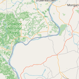
Area Description:
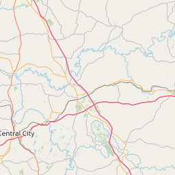
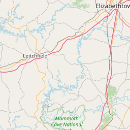
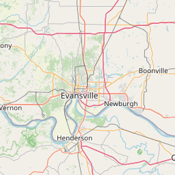
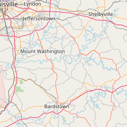
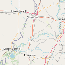
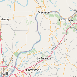
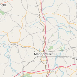
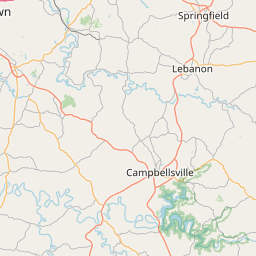
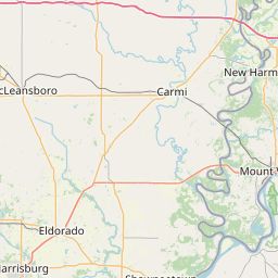
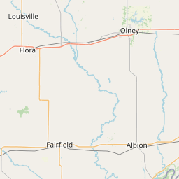
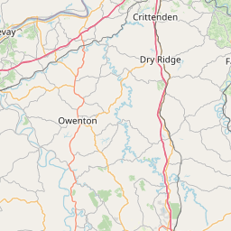
Crawford, IN; Perry, IN; Breckinridge, KY; Hancock, KY
Forcast Office:
NWS Louisville KY
Leaflet | OSM Mapnik