
Headline:
Flood Warning issued April 12 at 11:03AM CDT by NWS Little Rock AR
Event:
Flood Warning
Urgency:
Immediate
Effective:
April 12, 2025 - 9:03am
Expires:
April 13, 2025 - 9:15am
Description:
...The Flood Warning continues for the following river in Arkansas...
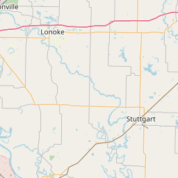
White River At Clarendon affecting Arkansas and Monroe Counties.
For the Lower White River...including Newport, Augusta, Georgetown,
Des Arc, Clarendon...Major flooding is forecast.
* WHAT...Moderate flooding is occurring and major flooding is
forecast.
* WHERE...White River at Clarendon.
* WHEN...Until further notice.
* IMPACTS...At 26.0 feet, River flows in many side channels and
creates islands between the river and sloughs and creeks. Flooding
of cropland and timber is occurring. Portions of the National
Wildlife Refuge downstream of Clarendon flooding.
At 28.0 feet, Flooding of cropland and timber is occurring. Roads
to homes and cabins in lower Maddox Bay area off Highway 146 south
of Clarendon impassible.
At 30.0 feet, Clarendon storm sewer should be closed to keep river
from backing up outflow pipe. Extensive flooding in the delta.
Most cropland and timber in bottoms are flooded. Much of the
National Wildlife Refuge land downstream of Clarendon will be
flooded.
At 32.0 feet, State Highway 302 north of Clarendon may be
affected. Some industrial property in Clarendon on river side of
levee may be flooded. Many access problems for recreational
properties downstream of Clarendon. Many downstream areas are
accessable by boat only. Height and duration of flooding along the
lower White River is greatly dependent on the level of the
Mississippi River in combination with the flow rate of the White
River.
At 33.0 feet, Most all of the land within the levees is inundated.
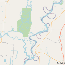
Large portions of the Cache and White River National Wildlife
Refuges are flooded. River crested at 33 feet in March 2008, 33.8
feet in April 2008, 35 feet in May 1973. High Mississippi River
worsens flooding on the lower White River. Homes and cabins from
Clarendon to Saint Charles will be impacted by the high water.
Those chosing to remain in their homes should have sufficient
supplies for long term isolation.
* ADDITIONAL DETAILS...
- At 10:00 AM CDT Saturday the stage was 31.0 feet.
- Forecast...The river is expected to rise to a crest of 32.5
feet by early Wednesday morning (April 16).
- Flood stage is 26.0 feet.
- http://www.weather.gov/safety/flood
Instruction:
Motorists should not attempt to drive around barricades or drive
cars through flooded areas.
Flooding is occurring or is imminent. Most flood related deaths
occur in automobiles. Do not attempt to cross water covered bridges,
dips, or low water crossings. Never try to cross a flowing stream,
even a small one, on foot. To escape rising water find another route
over higher ground.
Turn around, don't drown when encountering flooded roads. Most flood
deaths occur in vehicles.
River forecasts are based on current conditions and rainfall
forecasted to occur over the next 24 hours. During periods of
flooding...Evening forecasts are reissued with updated rainfall
forecasts.
Observed and forecasted stage data plots are available on our
Advanced Hydrologic Prediction Service web page at...
www.weather.gov/lzk
Under the Current Conditions section...Select River and Lakes AHPS.
The next statement will be issued Sunday morning at 1115 AM CDT.
Area Description:
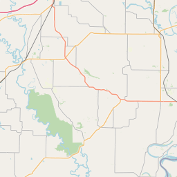
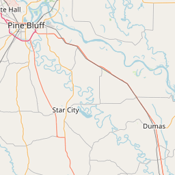
Arkansas, AR; Monroe, AR
Forcast Office:
NWS Little Rock AR

Leaflet | OSM Mapnik