
Headline:
Flood Warning issued April 12 at 11:25AM CDT until April 18 at 1:00PM CDT by NWS Paducah KY
Event:
Flood Warning
Urgency:
Immediate
Effective:
April 12, 2025 - 9:25am
Expires:
April 13, 2025 - 11:30am
Description:
...The Flood Warning continues for the following rivers in
Illinois...Kentucky...Indiana...
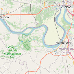
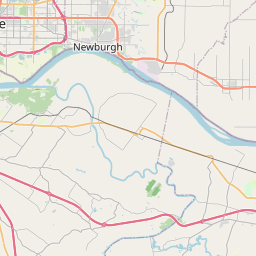
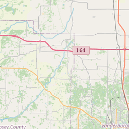
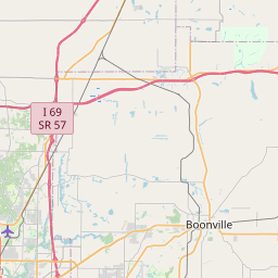
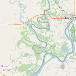
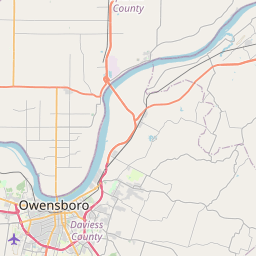
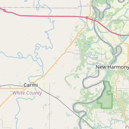
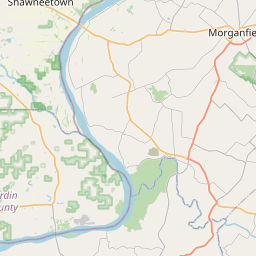
Ohio River at Owensboro, Newburgh Dam, Evansville, Henderson,
Mount Vernon, J.T. Myers Dam, Shawneetown and Golconda.
.Minor to major flooding remains forecast along the Ohio River from
Owensboro downstream to Golconda. Water levels continue to rise,
with crests expected this weekend into early next week.
* WHAT...Moderate flooding is occurring and moderate flooding is
forecast.
* WHERE...Ohio River near Henderson.
* WHEN...Until early Friday afternoon.
* IMPACTS...At 43.0 feet, Several county roads in the western and
northern part of the county flood, leaving many impassable.
* ADDITIONAL DETAILS...
- At 10:45 AM CDT Saturday the stage was 43.0 feet.
- Recent Activity...The maximum river stage in the 24 hours
ending at 10:45 AM CDT Saturday was 43.1 feet.
- Forecast...The river is expected to rise to a crest of 43.1
feet this afternoon. It will then fall below flood stage
Friday morning.
- Flood stage is 36.0 feet.
Instruction:
Motorists should not attempt to drive around barricades or drive
cars through flooded areas.
Caution is urged when walking near riverbanks.
Additional information is available at www.weather.gov.
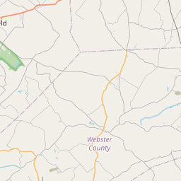
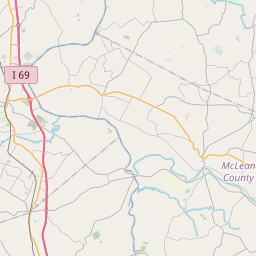
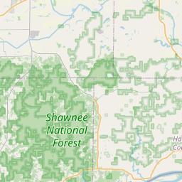
Area Description:
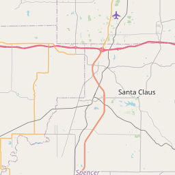
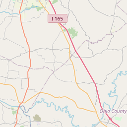
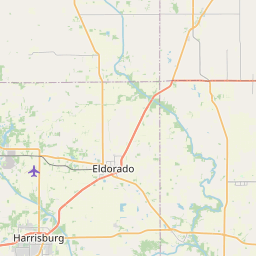
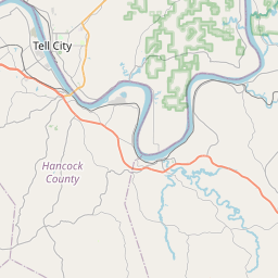
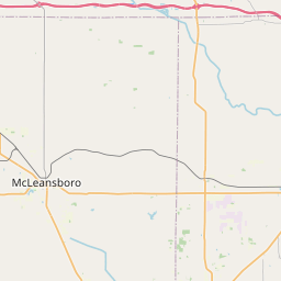
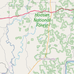
Posey, IN; Vanderburgh, IN; Henderson, KY
Forcast Office:
NWS Paducah KY

Leaflet | OSM Mapnik