
Headline:
Flood Warning issued April 12 at 8:52PM CDT until April 25 at 3:00PM CDT by NWS Memphis TN
Event:
Flood Warning
Urgency:
Immediate
Effective:
April 12, 2025 - 6:52pm
Expires:
April 14, 2025 - 7:00am
Description:
...The Flood Warning continues for the following rivers in
Missouri...Arkansas...Tennessee...
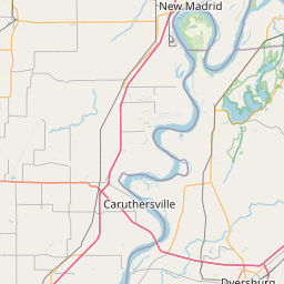
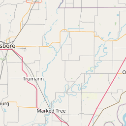
Mississippi River at Caruthersville
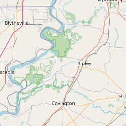
For the Lower Mississippi River...including Tiptonville,
Caruthersville, Osceola, Memphis, Tunica Mhoon Landing, Helena...
Major flooding is forecast.
* WHAT...Minor flooding is occurring and minor flooding is forecast.
* WHERE...Mississippi River at Caruthersville.
* WHEN...Until Friday, April 25.
* IMPACTS...At 40.0 feet, In Tennessee, Highway 88 is flooded at
many places. Backwater coming up the Obion and Forked Deer Rivers
has flooded most unprotected land in western Dyer County and the
north bottom of Lauderdale County. Backwater has reached Miston,
Finley, and Four Points. Backwater has nearly reached Lennox,
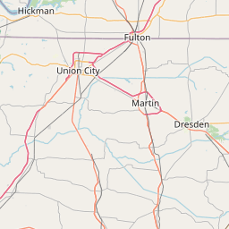
Richmond Road, and Paw Paw Ridge. Parker Road in Lake County is
flooded. In Arkansas, the road to the grain terminal east of
Blytheville is flooded. Fields inside the levee are flooded in
Pemiscot County, Missouri.
* ADDITIONAL DETAILS...
- At 8:00 PM CDT Saturday the stage was 39.6 feet.
- Forecast...The river is expected to rise to a crest of 39.5
feet Sunday evening. It will then remain fairly steady before
starting to fall by the middle of next week.
- Flood stage is 32.0 feet.
- http://www.weather.gov/safety/flood
Instruction:
Motorists should not attempt to drive around barricades or drive
cars through flooded areas.
Caution is urged when walking near riverbanks.
Additional information is available at weather.gov/memphis.
The next statement will be issued as needed.
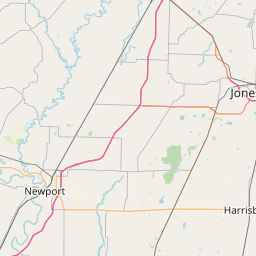
Area Description:
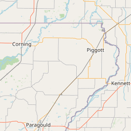
Mississippi, AR; Pemiscot, MO; Dyer, TN; Lake, TN; Lauderdale, TN
Forcast Office:
NWS Memphis TN

Leaflet | OSM Mapnik