
Headline:
Flood Warning issued April 13 at 12:32PM EDT until April 14 at 9:30PM EDT by NWS Indianapolis IN
Event:
Flood Warning
Urgency:
Immediate
Effective:
April 13, 2025 - 9:32am
Expires:
April 14, 2025 - 12:45am
Description:
...The Flood Warning continues for the following rivers in Indiana...
Illinois...
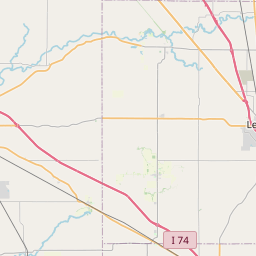
Wabash River at Vincennes.
Wabash River at Mount Carmel.
Wabash River at Riverton.
Wabash River at Hutsonville Legacy Power Plant Site.
Wabash River at Terre Haute.
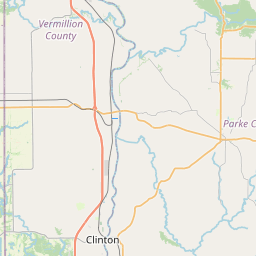
Wabash River at Montezuma.
.Flooding continues along the Wabash River at multiple
points. These points have crested and are expected to fall below
flood stage by next weekend.
* WHAT...Minor flooding is occurring and minor flooding is forecast.
* WHERE...Wabash River at Montezuma.
* WHEN...Until late tomorrow evening.
* IMPACTS...At 14.0 feet, Several hundred acres of bottomlands along
the right bank from the mouth of Sugar Creek to northern edge of
Montezuma begin to flood.
* ADDITIONAL DETAILS...
- At 11:45 AM EDT Sunday the stage was 15.4 feet.
- Recent Activity...The maximum river stage in the 24 hours
ending at 11:45 AM EDT Sunday was 16.2 feet.
- Forecast...The river is expected to fall below flood stage
late tomorrow morning and continue falling and remain below
flood stage.
- Flood stage is 14.0 feet.
- http://www.weather.gov/safety/flood
Instruction:
Motorists should not attempt to drive around barricades or drive
cars through flooded areas.
Caution is urged when walking near riverbanks.
Additional information is available at www.weather.gov/ind.
The next statement should be issued late tonight by around 345 AM
EDT /245 AM CDT/.
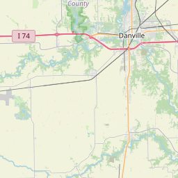
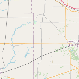
Area Description:
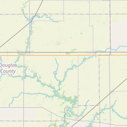
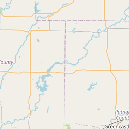
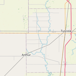
Parke, IN; Vermillion, IN; Vigo, IN
Forcast Office:
NWS Indianapolis IN


Leaflet | OSM Mapnik