
Headline:
Flood Warning issued April 13 at 8:31PM CDT until April 16 at 7:00PM CDT by NWS Louisville KY
Event:
Flood Warning
Urgency:
Immediate
Effective:
April 13, 2025 - 6:31pm
Expires:
April 14, 2025 - 12:45pm
Description:
...The Flood Warning is extended for the following rivers in
Kentucky...
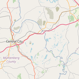
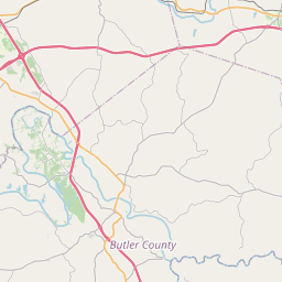
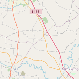
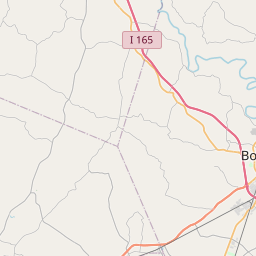
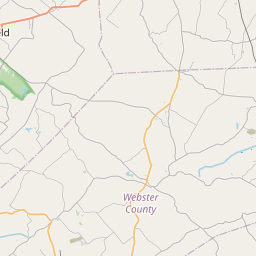
Green River at Rochester affecting Ohio, Butler and Muhlenberg
Counties.
...The Flood Warning continues for the following rivers in
Kentucky...
Green River at Woodbury affecting Butler and Warren Counties.
* WHAT...Moderate flooding is occurring and moderate flooding is
forecast.
* WHERE...Green River at Rochester.
* WHEN...Until Wednesday evening.
* IMPACTS...At 34.0 feet, Rochester Ferry stops operation.
At 37.0 feet, Reeds and Rochester Ferries remain closed. KY 369
floods one mile north of Rochester.
At 44.0 feet, KY 1117 floods near Mining City.
At 45.0 feet, KY 70 floods between Dunbar and South Hill. Water
enters basements in some homes along river in Rochester.
At 46.0 feet, KY 70 floods one mile north of Rochester.
At 47.0 feet, Rochester is cutoff.
* ADDITIONAL DETAILS...
- At 7:45 PM CDT Sunday the stage was 46.9 feet.
- Bankfull stage is 34.0 feet.
- Recent Activity...The maximum river stage in the 24 hours
ending at 7:45 PM CDT Sunday was 48.6 feet.
- Forecast...The river is expected to fall below flood stage
early Wednesday afternoon and continue falling to 33.7 feet
Friday evening.
- Flood stage is 37.0 feet.
- Flood History...This crest compares to a previous crest of
45.3 feet on 03/06/2021.
- http://www.weather.gov/safety/flood
Instruction:
Motorists should not attempt to drive around barricades or drive
cars through flooded areas.
Turn around, don't drown when encountering flooded roads. Most flood
deaths occur in vehicles.
Flooding is occurring or is imminent. Most flood related deaths
occur in automobiles. Do not attempt to cross water covered bridges,
dips, or low water crossings. Never try to cross a flowing stream,
even a small one, on foot. To escape rising water find another route
over higher ground.
Additional information is available at www.weather.gov/lmk.
The next statement will be issued by Monday afternoon at 245 PM CDT.
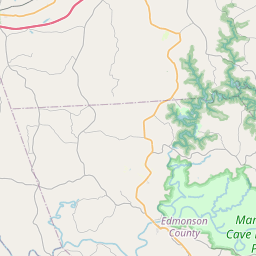
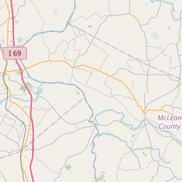
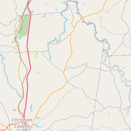
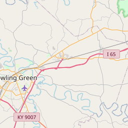
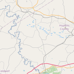
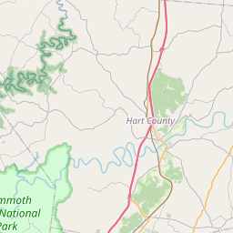
Area Description:
Butler, KY; Muhlenberg, KY; Ohio, KY
Forcast Office:
NWS Louisville KY


Leaflet | OSM Mapnik