
Headline:
Flood Warning issued April 13 at 10:18PM CDT until April 21 at 9:30AM CDT by NWS Paducah KY
Event:
Flood Warning
Urgency:
Immediate
Effective:
April 13, 2025 - 8:18pm
Expires:
April 14, 2025 - 10:30pm
Description:
...The Flood Warning continues for the following rivers in
Kentucky...Indiana...Illinois...
Ohio River at Owensboro, Newburgh Dam, Evansville, Henderson,
Mount Vernon, J.T. Myers Dam, Shawneetown and Golconda.
.Levels on the Ohio River from Owensboro to Golconda are cresting
sometime from tonight through Tuesday, or have already crested and
are starting a slow fall. Minor to major flooding continues.
* WHAT...Moderate flooding is occurring and moderate flooding is
forecast.
* WHERE...Ohio River at Golconda.
* WHEN...Until Monday, April 21.
* ADDITIONAL DETAILS...
- At 10:00 PM CDT Sunday the stage was 52.0 feet.
- Forecast...The river is expected to rise to a crest of 52.5
feet Tuesday evening. It will then fall below flood stage
Monday, April 21.
- Flood stage is 40.0 feet.
- http://www.weather.gov/safety/flood
Instruction:
Turn around, don't drown when encountering flooded roads. Most flood
deaths occur in vehicles.
Be especially cautious at night when it is harder to recognize the
dangers of flooding.
Additional information is available at www.weather.gov.
Area Description:
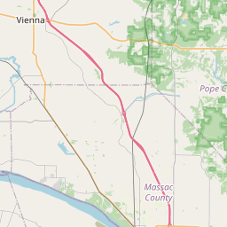
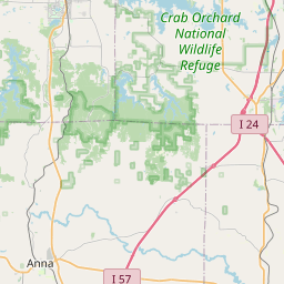
Hardin, IL; Pope, IL; Crittenden, KY; Livingston, KY
Forcast Office:
NWS Paducah KY


Leaflet | OSM Mapnik