
Headline:
Flood Warning issued April 13 at 10:32PM CDT until April 14 at 11:00AM CDT by NWS Paducah KY
Event:
Flood Warning
Urgency:
Expected
Effective:
April 13, 2025 - 8:32pm
Expires:
April 14, 2025 - 9:00am
Description:
* WHAT...Flooding caused by last week's excessive rainfall continues.
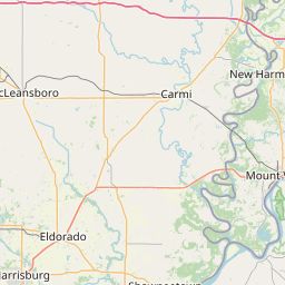
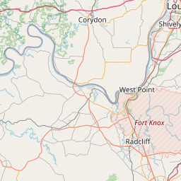
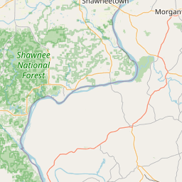
* WHERE...A portion of western Kentucky, including the following
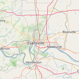
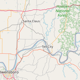
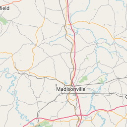
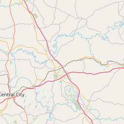
counties, Crittenden, Daviess, Henderson and Union.
* WHEN...Until 1100 AM CDT Monday.
* IMPACTS...Flooding of rivers, creeks, streams, and other low-lying
and flood-prone locations is occurring. Numerous roads remain
closed due to flooding.
* ADDITIONAL DETAILS...
- At 1027 PM CDT, emergency management reported that numerous
state and county roads and even portions of U S Highway 60
are closed due to high water.
- Some locations that will experience flooding include...
Evansville, Owensboro, Henderson, Morganfield, Sturgis,
Breckinridge Center, Uniontown, Corydon, Whitesville,
Robards, St. Joseph, Stanley, Masonville, Knottsville,
Waverly, Hebbardsville, Moseleyville and Pleasant Ridge.
- http://www.weather.gov/safety/flood
Instruction:
Turn around, don't drown when encountering flooded roads. Most flood
deaths occur in vehicles.
Be especially cautious at night when it is harder to recognize the
dangers of flooding.
Area Description:
Crittenden, KY; Daviess, KY; Henderson, KY; Union, KY
Forcast Office:
NWS Paducah KY
Leaflet | OSM Mapnik