
Headline:
Flood Warning issued April 15 at 11:00AM CDT until April 21 at 4:00AM CDT by NWS Paducah KY
Event:
Flood Warning
Urgency:
Immediate
Effective:
April 15, 2025 - 9:00am
Expires:
April 16, 2025 - 11:00am
Description:
...The Flood Warning continues for the following rivers in
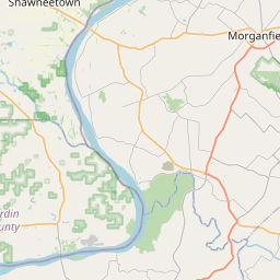
Illinois...Kentucky...Indiana...
Ohio River at Owensboro, Newburgh Dam, Evansville, Henderson,
Mount Vernon, J.T. Myers Dam, Shawneetown, and Golconda.
* WHAT...Moderate flooding is occurring and moderate flooding is
forecast.
* WHERE...Ohio River at Golconda.
* WHEN...Until early Monday morning.
* IMPACTS...At 53.0 feet, The levee at the marina is under water.
* ADDITIONAL DETAILS...
- At 10:00 AM CDT Tuesday the stage was 52.3 feet.
- Recent Activity...The maximum river stage in the 24 hours
ending at 10:00 AM CDT Tuesday was 52.3 feet.
- Forecast...The river is in an extended crest at 52.3 feet. It
will then fall below flood stage late Sunday evening.
- Flood stage is 40.0 feet.
Instruction:
Motorists should not attempt to drive around barricades or drive
cars through flooded areas.
Additional information is available at www.weather.gov.
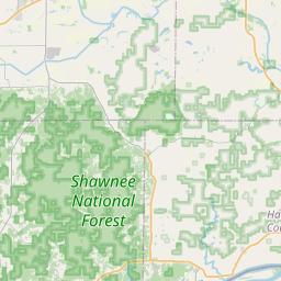
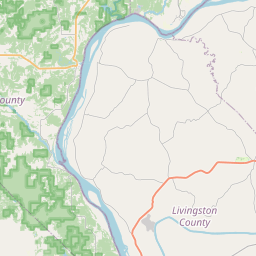
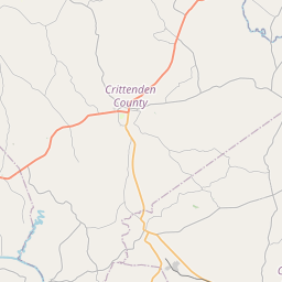
Area Description:
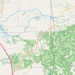
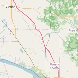
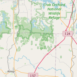
Hardin, IL; Pope, IL; Crittenden, KY; Livingston, KY
Forcast Office:
NWS Paducah KY


Leaflet | OSM Mapnik