
Headline:
Severe Thunderstorm Warning issued April 2 at 3:56PM CDT until April 2 at 4:30PM CDT by NWS Lincoln IL
Event:
Severe Thunderstorm Warning
Urgency:
Immediate
Effective:
April 2, 2025 - 1:56pm
Expires:
April 2, 2025 - 2:30pm
Description:
SVRILX
The National Weather Service in Lincoln has issued a
* Severe Thunderstorm Warning for...
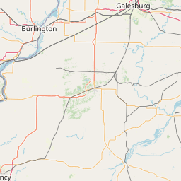
Southeastern Menard County in central Illinois...
Southern Logan County in central Illinois...
Northwestern Christian County in central Illinois...
Sangamon County in central Illinois...
Western De Witt County in central Illinois...
Southeastern Morgan County in west central Illinois...
* Until 430 PM CDT.
* At 355 PM CDT, severe thunderstorms were located along a line
extending from near Cornland to near Palmyra, moving northeast at
35 mph.
HAZARD...60 mph wind gusts and quarter size hail.
SOURCE...Radar indicated.
IMPACT...Hail damage to vehicles is expected. Expect wind damage
to roofs, siding, and trees.
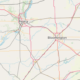
* Locations impacted include...
Dawson, Sangchris Lake State Park, Mechanicsburg, Curran, Glenarm,
Thayer, Southern View, Latham, Riverton, Illinois State
Fairgrounds, Kenney, Williamsville, Elkhart, Chestnut, Clear Lake,
Loami, Sherman, Lowder, Chatham, and Pawnee.
This includes the following highways...
Interstate 55 between mile markers 77 and 114.
Interstate 72 between mile markers 89 and 123.
Instruction:
For your protection move to an interior room on the lowest floor of a
building.
Torrential rainfall is occurring with these storms, and may lead to
flash flooding. Do not drive your vehicle through flooded roadways.
A Tornado Watch remains in effect until 1000 PM CDT for central
Illinois.
Area Description:
Christian, IL; De Witt, IL; Logan, IL; Menard, IL; Morgan, IL; Sangamon, IL
Forcast Office:
NWS Lincoln IL


Leaflet | OSM Mapnik