
Headline:
Severe Thunderstorm Warning issued April 5 at 6:28PM EDT until April 5 at 7:00PM EDT by NWS Charleston WV
Event:
Severe Thunderstorm Warning
Urgency:
Immediate
Effective:
April 5, 2025 - 3:28pm
Expires:
April 5, 2025 - 4:00pm
Description:
SVRRLX
The National Weather Service in Charleston West Virginia has issued a
* Severe Thunderstorm Warning for...
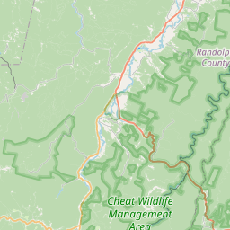
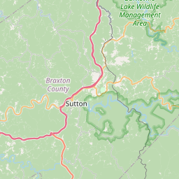
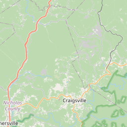
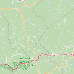
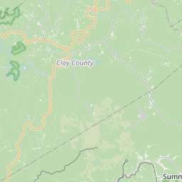
Southwestern Randolph County in northeastern West Virginia...
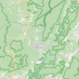
Central Pocahontas County in northeastern West Virginia...
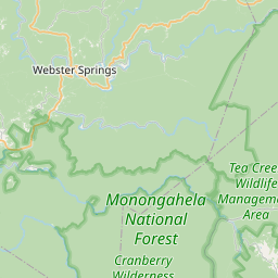
Central Webster County in northeastern West Virginia...
* Until 700 PM EDT.
* At 627 PM EDT, a severe thunderstorm was located near Webster
Springs, moving east at 45 mph.
HAZARD...70 mph wind gusts and half dollar size hail.
SOURCE...Radar indicated.
IMPACT...Hail damage to vehicles is expected. Expect considerable
tree damage. Wind damage is also likely to mobile homes,
roofs, and outbuildings.
* Locations impacted include...
Monterville, Slaty Fork, Addison (Webster Springs), Upper Glade,
Waneta, Boggs, Cowen, Webster Springs, Mingo, Valley Head, Bergoo,
Erbacon, Camden-On-gauley, and Camden On Gauley.
Instruction:
Remain alert for a possible tornado! Tornadoes can develop quickly
from severe thunderstorms. If you spot a tornado go at once into the
basement or small central room in a sturdy structure.
For your protection move to an interior room on the lowest floor of a
building.
Large hail, damaging wind, and continuous cloud to ground lightning
are occurring with this storm. Move indoors immediately. Lightning is
one of nature's leading killers. Remember, if you can hear thunder,
you are close enough to be struck by lightning.
Torrential rainfall is occurring with this storm, and may lead to
flash flooding. Do not drive your vehicle through flooded roadways.
Area Description:
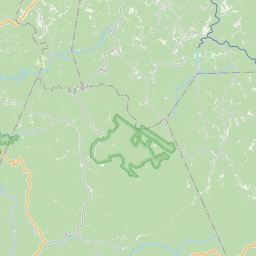
Pocahontas, WV; Randolph, WV; Webster, WV
Forcast Office:
NWS Charleston WV

Leaflet | OSM Mapnik