
Headline:
Severe Thunderstorm Warning issued April 5 at 7:49PM EDT until April 5 at 8:00PM EDT by NWS Charleston WV
Event:
Severe Thunderstorm Warning
Urgency:
Immediate
Effective:
April 5, 2025 - 4:49pm
Expires:
April 5, 2025 - 5:00pm
Description:
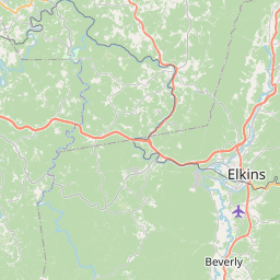
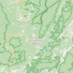
At 749 PM EDT, a severe thunderstorm was located 13 miles west of
Franklin, moving east at 30 mph.
HAZARD...60 mph wind gusts and quarter size hail.
SOURCE...Radar indicated.
IMPACT...Hail damage to vehicles is expected. Expect wind damage to
roofs, siding, and trees.
This severe thunderstorm will remain over mainly rural areas of east
central Randolph and eastern Pocahontas Counties.
Instruction:
For your protection move to an interior room on the lowest floor of a
building.
Continuous cloud to ground lightning is occurring with this storm.
Move indoors immediately. Lightning is one of nature's leading
killers. Remember, if you can hear thunder, you are close enough to
be struck by lightning.
Torrential rainfall is occurring with this storm, and may lead to
flash flooding. Do not drive your vehicle through flooded roadways.
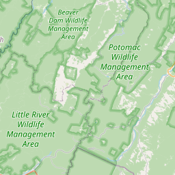
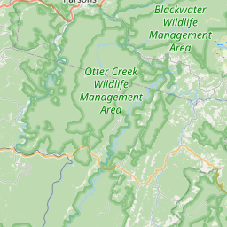
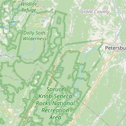
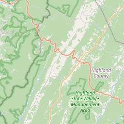
Area Description:
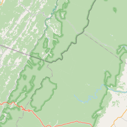
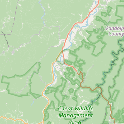
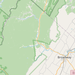
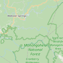
Pocahontas, WV; Randolph, WV
Forcast Office:
NWS Charleston WV


Leaflet | OSM Mapnik