
Headline:
Severe Thunderstorm Warning issued April 5 at 11:32PM CDT until April 6 at 12:30AM CDT by NWS Jackson MS
Event:
Severe Thunderstorm Warning
Urgency:
Immediate
Effective:
April 5, 2025 - 9:32pm
Expires:
April 5, 2025 - 10:30pm
Description:
At 1132 PM CDT, a severe thunderstorm was located near Sallis, or
near Durant, moving northeast at 50 mph.
HAZARD...60 mph wind gusts.
SOURCE...Radar indicated.
IMPACT...Expect damage to roofs, siding, and trees.
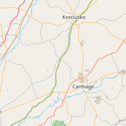
This severe storm will be near...
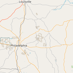
West, Hesterville, Kosciusko, Mcadams, and Possumneck around 1135
PM CDT.
Ethel around 1150 PM CDT.
French Camp and Mccool around 1155 PM CDT.
Instruction:
A Tornado Watch remains in effect until midnight CDT for central and
north central Mississippi. A Tornado Watch also remains in effect
until 500 AM CDT for central and north central Mississippi.
For your protection move to an interior room on the lowest floor of a
building.
Area Description:
Attala, MS; Choctaw, MS; Holmes, MS; Montgomery, MS
Forcast Office:
NWS Jackson MS

Leaflet | OSM Mapnik