
Headline:
Severe Thunderstorm Warning issued April 6 at 1:41AM CDT until April 6 at 2:15AM CDT by NWS Birmingham AL
Event:
Severe Thunderstorm Warning
Urgency:
Immediate
Effective:
April 5, 2025 - 11:41pm
Expires:
April 6, 2025 - 12:15am
Description:
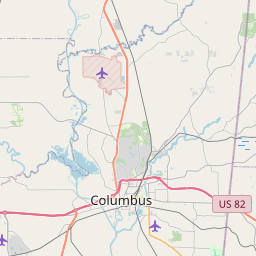
At 141 AM CDT, a severe thunderstorm was located over Ethelsville, or
9 miles southeast of Columbus, moving northeast at 50 mph.
HAZARD...60 mph wind gusts.
SOURCE...Radar indicated.
IMPACT...Expect damage to roofs, siding, and trees.
Locations impacted include...
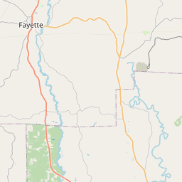
Macedonia, Ethelsville, Shaw, and Forest.
Instruction:
A Tornado Watch remains in effect until 300 AM CDT for west central
Alabama.
Remain alert for a possible tornado! Tornadoes can develop quickly
from severe thunderstorms. If you spot a tornado go at once into the
basement or small central room in a sturdy structure.
For your protection move to an interior room on the lowest floor of a
building.
Area Description:
Pickens, AL
Forcast Office:
NWS Birmingham AL


Leaflet | OSM Mapnik