
Headline:
Severe Thunderstorm Warning issued April 14 at 8:41PM EDT until April 14 at 9:00PM EDT by NWS Charleston WV
Event:
Severe Thunderstorm Warning
Urgency:
Immediate
Effective:
April 14, 2025 - 5:41pm
Expires:
April 14, 2025 - 6:00pm
Description:
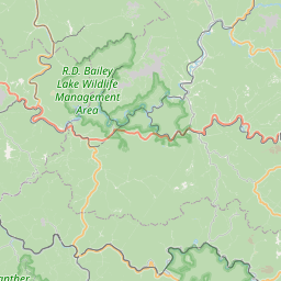
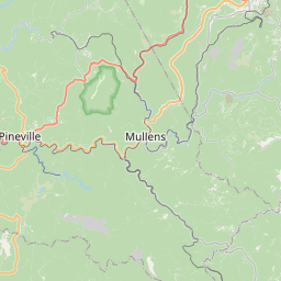
At 840 PM EDT, a severe thunderstorm was located near Oceana, or near
Pineville, moving east at 55 mph.
HAZARD...60 mph wind gusts and half dollar size hail.
SOURCE...Radar indicated.
IMPACT...Hail damage to vehicles is expected. Expect wind damage to
roofs, siding, and trees.
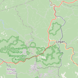
Locations impacted include...
Clear Fork, Pineville, Wolf Pen, Mullens, Twin Falls State Park,
Maben, Baileysville, Herndon, Rhodell, and Oceana.
Instruction:
For your protection move to an interior room on the lowest floor of a
building.
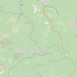
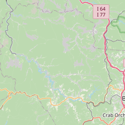
Area Description:
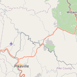
Raleigh, WV; Wyoming, WV
Forcast Office:
NWS Charleston WV
Leaflet | OSM Mapnik