
Headline:
Severe Thunderstorm Warning issued April 14 at 8:43PM EDT until April 14 at 9:15PM EDT by NWS Charleston WV
Event:
Severe Thunderstorm Warning
Urgency:
Immediate
Effective:
April 14, 2025 - 5:43pm
Expires:
April 14, 2025 - 6:15pm
Description:
SVRRLX
The National Weather Service in Charleston West Virginia has issued a
* Severe Thunderstorm Warning for...
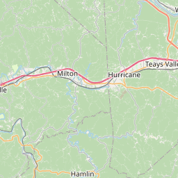
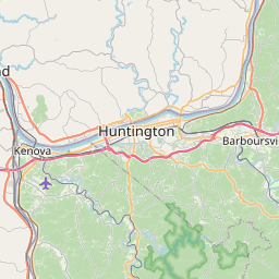
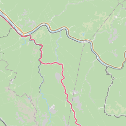
Southeastern Cabell County in central West Virginia...
Southwestern Putnam County in western West Virginia...
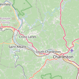
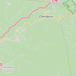
West central Kanawha County in central West Virginia...
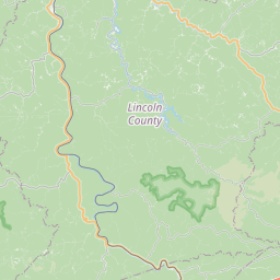
Northern Lincoln County in central West Virginia...
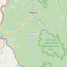
Northeastern Wayne County in western West Virginia...
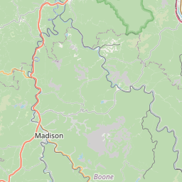
Northwestern Boone County in central West Virginia...
* Until 915 PM EDT.
* At 843 PM EDT, a severe thunderstorm was located near Beech Fork
State Park, moving east at 50 mph.
HAZARD...60 mph wind gusts and quarter size hail.
SOURCE...Radar indicated.
IMPACT...Hail damage to vehicles is expected. Expect wind damage
to roofs, siding, and trees.
* Locations impacted include...
Salt Rock, Griffithsville, Sweetland, West Hamlin, Sod, Tornado,
Hamlin, Alum Creek, Yawkey, Branchland, Myra, and St. Albans.
This includes Route 119 between mile markers 59 and 67.
Instruction:
For your protection move to an interior room on the lowest floor of a
building.
Area Description:
Boone, WV; Cabell, WV; Kanawha, WV; Lincoln, WV; Putnam, WV; Wayne, WV
Forcast Office:
NWS Charleston WV

Leaflet | OSM Mapnik