
Headline:
Severe Thunderstorm Warning issued April 15 at 4:58PM EDT until April 15 at 6:00PM EDT by NWS Mount Holly NJ
Event:
Severe Thunderstorm Warning
Urgency:
Immediate
Effective:
April 15, 2025 - 1:58pm
Expires:
April 15, 2025 - 3:00pm
Description:
SVRPHI
The National Weather Service in Mount Holly NJ has issued a
* Severe Thunderstorm Warning for...
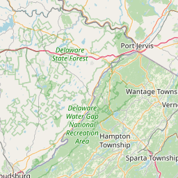
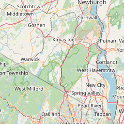
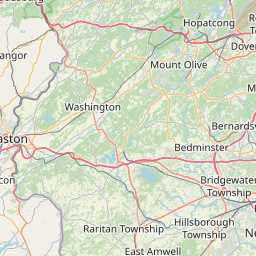
Northeastern Morris County in northern New Jersey...
Central Sussex County in northwestern New Jersey...
* Until 600 PM EDT.
* At 456 PM EDT, a severe thunderstorm was located over Newton,
moving east at 40 mph. THis storm has a history of producing wind
damage in Monroe County in eastern Pennsylvania.
HAZARD...60 mph wind gusts and quarter size hail.
SOURCE...Radar indicated.
IMPACT...Minor damage to vehicles is possible. Wind damage to
roofs, siding, trees, and power lines is possible.
* Locations impacted include...
Franklin, Mountain Lakes, Lake Mohawk, Rockaway, White Meadow Lake,
Hamburg, Boonton, Green Pond, Pellettown, Crandon Lakes, Andover,
Hanover Township, Riverdale, Victory Gardens, Lincoln Park,
Branchville, Kinnelon, Butler, Morris Plains, and Mount Arlington.
This includes the following highways...
Interstate 80 in New Jersey between mile markers 31 and 49.
Interstate 287 in New Jersey between mile markers 38 and 54.
Instruction:
For your protection move to an interior room on the lowest floor of a
building.
This severe thunderstorm may contain little or no lightning. Do not
wait until you hear thunder before taking cover.
Area Description:
Morris, NJ; Sussex, NJ
Forcast Office:
NWS Mount Holly NJ
Leaflet | OSM Mapnik