
Headline:
Special Weather Statement issued March 30 at 3:16AM CDT by NWS Little Rock AR
Event:
Special Weather Statement
Urgency:
Expected
Effective:
March 30, 2025 - 1:16am
Expires:
March 30, 2025 - 1:45am
Description:
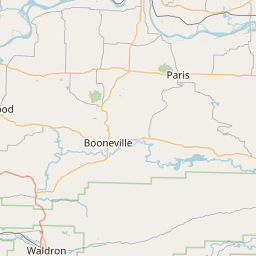
At 315 AM CDT, Doppler radar was tracking a strong thunderstorm near
Paris, moving northeast at 55 mph.
HAZARD...Wind gusts up to 50 mph and half inch hail.
SOURCE...Radar indicated.
IMPACT...Gusty winds could knock down tree limbs and blow around
unsecured objects. Minor damage to outdoor objects is
possible.
Locations impacted include...
Oak Grove in Johnson County... Catalpa...
Subiaco... Roseville...
Yale... Chismville...
Union City... Oark...
Hinkle... Ratcliff...
Hunt... Coal Hill...
Wilkins... Wolf Pen Campground...
Scranton... Hartman...
Corley... Hoyt...
Mount Magazine... Harmony...
Instruction:
If outdoors, consider seeking shelter inside a building.
Torrential rainfall is also occurring with this storm and may lead to
localized flooding. Do not drive your vehicle through flooded
roadways.
Frequent cloud to ground lightning is occurring with this storm.
Lightning can strike 10 miles away from a thunderstorm. Seek a safe
shelter inside a building or vehicle.
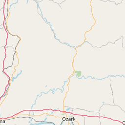
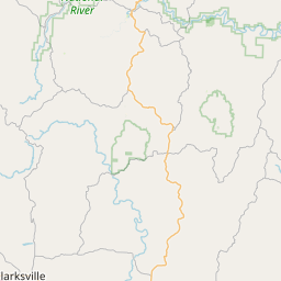
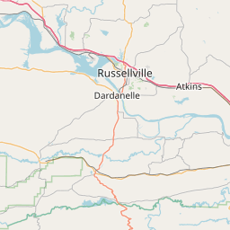
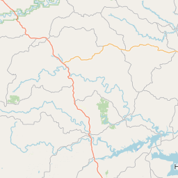
Area Description:
Southern Johnson County; Western and Northern Logan County; Johnson County Higher Elevations; Southern and Eastern Logan County
Forcast Office:
NWS Little Rock AR

Leaflet | OSM Mapnik