
Headline:
Special Weather Statement issued March 30 at 7:01PM EDT by NWS Gaylord MI
Event:
Special Weather Statement
Urgency:
Expected
Effective:
March 30, 2025 - 4:01pm
Expires:
March 30, 2025 - 4:45pm
Description:
At 701 PM EDT, Doppler radar was tracking a strong thunderstorm near
Sanford, moving northeast at 55 mph.
HAZARD...Wind gusts up to 50 mph and half inch hail.
SOURCE...Radar indicated.
IMPACT...Gusty winds could knock down tree limbs and blow around
unsecured objects. Minor hail damage to vegetation is
possible.
Locations impacted include...
Maple Ridge, Sterling, Au Gres, Twining, Omer, Standish, and Alger.
Instruction:
If outdoors, consider seeking shelter inside a building.
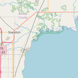
Area Description:
Arenac
Forcast Office:
NWS Gaylord MI


Leaflet | OSM Mapnik