Headline:
Special Weather Statement issued March 30 at 7:32PM EDT by NWS Cleveland OH
Event:
Special Weather Statement
Urgency:
Expected
Effective:
March 30, 2025 - 4:32pm
Expires:
March 30, 2025 - 5:30pm
Description:
At 732 PM EDT, Doppler radar was tracking strong thunderstorms along
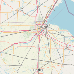
a line extending from near Deshler to near McComb to near Pandora.
Movement was northeast at 55 mph.
HAZARD...Wind gusts up to 50 mph.
SOURCE...Radar indicated.
IMPACT...Gusty winds could knock down tree limbs and blow around
unsecured objects.
Locations impacted include...
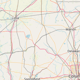
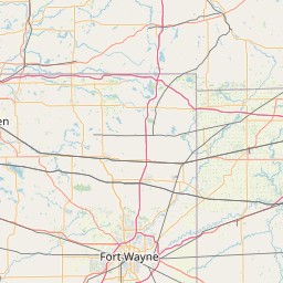
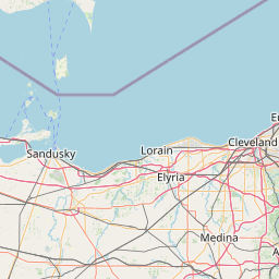
Findlay, Bowling Green, Fostoria, Bluffton, North Baltimore, McComb,
Weston, Arlington, Arcadia, Rawson, Vanlue, Van Buren, Pemberville,
Luckey, Bradner, Wayne, Bloomdale, Risingsun, Cygnet, and Mount
Blanchard.
Instruction:
If outdoors, consider seeking shelter inside a building.
Torrential rainfall is also occurring with these storms and may lead
to localized flooding. Do not drive your vehicle through flooded
roadways.
A Severe Thunderstorm Watch remains in effect until 1000 PM EDT for
northwestern Ohio.
Area Description:
Wood; Hancock
Forcast Office:
NWS Cleveland OH
Leaflet | OSM Mapnik
