
Headline:
Special Weather Statement issued March 31 at 6:45AM CDT by NWS Birmingham AL
Event:
Special Weather Statement
Urgency:
Expected
Effective:
March 31, 2025 - 4:45am
Expires:
March 31, 2025 - 5:45am
Description:
At 645 AM CDT, Doppler radar was tracking strong thunderstorms along
a line extending from Ashcraft Corner to Pickensville. Movement was
east at 25 mph.
HAZARD...Wind gusts up to 50 mph.
SOURCE...Radar indicated.
IMPACT...Gusty winds could knock down tree limbs and blow around
unsecured objects.
Locations impacted include...
Aliceville, Carrollton, Dillburg, Moores Bridge, Windham Springs,
Samantha, Kirk, Lewiston, Benevola, Johnston Lake, Echola, Lake
Lurleen State Park, Bevill Lock And Dam, Elrod, Garden, Ashcraft
Corner, North Pickens Airport, McShan, Buhl, and Gordo.
Instruction:
If outdoors, consider seeking shelter inside a building.
A Severe Thunderstorm Watch remains in effect until noon CDT for west
central Alabama.
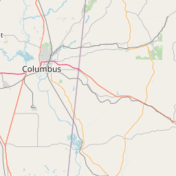
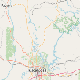
Area Description:
Pickens; Tuscaloosa; Greene
Forcast Office:
NWS Birmingham AL
Leaflet | OSM Mapnik