
Headline:
Special Weather Statement issued March 31 at 9:26AM CDT by NWS Birmingham AL
Event:
Special Weather Statement
Urgency:
Expected
Effective:
March 31, 2025 - 7:26am
Expires:
March 31, 2025 - 8:15am
Description:
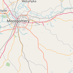
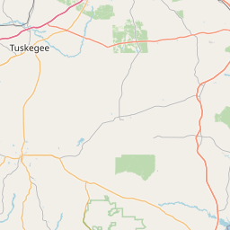
At 926 AM CDT, Doppler radar was tracking a strong thunderstorm near
Snowdoun, or 10 miles south of Montgomery, moving northeast at 35
mph.
HAZARD...Wind gusts up to 50 mph and penny size hail.
SOURCE...Radar indicated.
IMPACT...Gusty winds could knock down tree limbs and blow around
unsecured objects. Minor hail damage to vegetation is
possible.
Locations impacted include...
Liverpool, Shorter, Carters Hill, Milstead, Barachias, Cross Keys,
Brassell, Pike Road, Hardaway, Mount Meigs, Tysonville, Mitchell,
Victoryland, Cecil, Waugh, Tallassee, and Montgomery.
Instruction:
If outdoors, consider seeking shelter inside a building.
A Severe Thunderstorm Watch remains in effect until noon CDT for
south central, southeastern and east central Alabama.
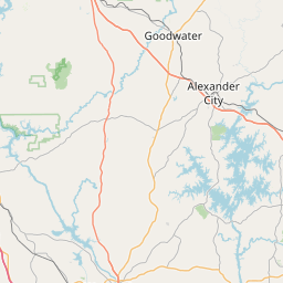
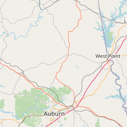
Area Description:
Elmore; Montgomery; Macon; Bullock
Forcast Office:
NWS Birmingham AL


Leaflet | OSM Mapnik