
Headline:
Special Weather Statement issued April 2 at 9:38AM CDT by NWS Springfield MO
Event:
Special Weather Statement
Urgency:
Expected
Effective:
April 2, 2025 - 7:38am
Expires:
April 2, 2025 - 8:45am
Description:
At 938 AM CDT, Doppler radar was tracking strong thunderstorms along
a line extending from Fair Play to near Everton to near Monett to 8
miles northeast of Bella Vista. Movement was east at 35 mph.
HAZARD...Wind gusts up to 50 mph and nickel size hail.
SOURCE...Radar indicated.
IMPACT...Gusty winds could knock down tree limbs and blow around
unsecured objects. Minor hail damage to vegetation is
possible.
Locations impacted include...
Elkland, Glidewell, Turners, Elkhead, Fair Grove, Chestnutridge,
Pumpkin Center, Emerald Beach, Silver Dollar City, Crane, Spokane,
Aurora, Cave Springs, Pleasant Ridge, Chain-O-Lakes, Goodson, Plad,
Morrisville, Madry, and Nixa.
This includes Interstate 44 between mile markers 42 and 109.
Instruction:
If outdoors, consider seeking shelter inside a building.
These storms may intensify, so be certain to monitor local radio
stations and available television stations for additional information
and possible warnings from the National Weather Service.
A Tornado Watch remains in effect until noon CDT for southwestern
Missouri. A Tornado Watch also remains in effect until 400 PM CDT for
southwestern Missouri.
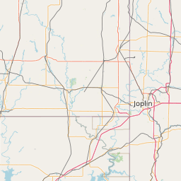
Area Description:
Polk; Dallas; Dade; Greene; Webster; Lawrence; Christian; McDonald; Barry; Stone; Taney
Forcast Office:
NWS Springfield MO


Leaflet | OSM Mapnik