
Headline:
Special Weather Statement issued April 2 at 10:54AM EDT by NWS Northern Indiana
Event:
Special Weather Statement
Urgency:
Expected
Effective:
April 2, 2025 - 7:54am
Expires:
April 2, 2025 - 8:15am
Description:
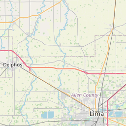
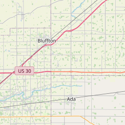
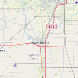
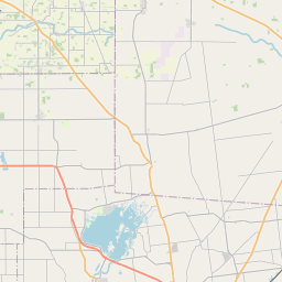
At 1054 AM EDT, Doppler radar was tracking a strong thunderstorm near
Lima, moving northeast at 70 mph.
HAZARD...Nickel size hail.
SOURCE...Radar indicated.
IMPACT...Minor hail damage to vegetation is possible.
Locations impacted include...
Beaverdam, Cairo, Lima, Slabtown, Rockport, Bluffton, and Fort
Shawnee.
This includes Interstate 75 between mile markers 120 and 141.
Instruction:
If outdoors, consider seeking shelter inside a building.
Area Description:
Allen
Forcast Office:
NWS Northern Indiana
Leaflet | OSM Mapnik