
Headline:
Special Weather Statement issued April 2 at 9:59PM EDT by NWS Detroit/Pontiac MI
Event:
Special Weather Statement
Urgency:
Expected
Effective:
April 2, 2025 - 6:59pm
Expires:
April 2, 2025 - 7:15pm
Description:
At 959 PM EDT, Doppler radar was tracking a strong thunderstorm near
Saline, moving east at 55 mph.
HAZARD...Wind gusts up to 50 mph and pea size hail.
SOURCE...Radar indicated.
IMPACT...Gusty winds could knock down tree limbs and blow around
unsecured objects. Minor damage to outdoor objects is
possible.
Locations impacted include...
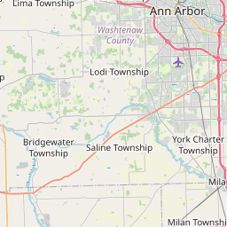
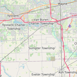
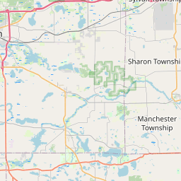
Dixboro, Pittsfield Township, Willis, Whittaker, Ann Arbor,
Ypsilanti, Manchester, Saline, Bridgewater, Pleasant Lake, and Milan.
Instruction:
If outdoors, consider seeking shelter inside a building.
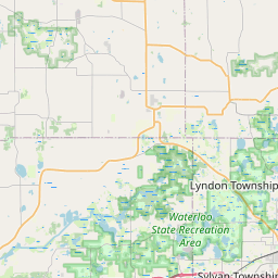
Area Description:
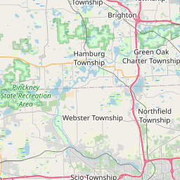
Washtenaw
Forcast Office:
NWS Detroit/Pontiac MI
Leaflet | OSM Mapnik