
Headline:
Special Weather Statement issued April 5 at 3:14PM EDT by NWS Charleston WV
Event:
Special Weather Statement
Urgency:
Expected
Effective:
April 5, 2025 - 12:14pm
Expires:
April 5, 2025 - 12:45pm
Description:
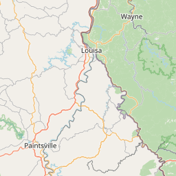
At 314 PM EDT, Doppler radar was tracking a strong thunderstorm over
Galen, or near Paintsville, moving northeast at 35 mph.
HAZARD...Wind gusts up to 50 mph and pea size hail.
SOURCE...Radar indicated.
IMPACT...Gusty winds could knock down tree limbs and blow around
unsecured objects. Minor hail damage to vegetation is
possible.
Locations impacted include...
Gallup, Louisa, Fort Gay, Genoa, Dunlow, Clifford, Glenhayes,
Ulysses, and Charley.
Instruction:
If outdoors, consider seeking shelter inside a building.
Area Description:
Lawrence; Wayne
Forcast Office:
NWS Charleston WV
Leaflet | OSM Mapnik