
Headline:
Special Weather Statement issued April 5 at 3:45PM EDT by NWS Charleston WV
Event:
Special Weather Statement
Urgency:
Expected
Effective:
April 5, 2025 - 12:45pm
Expires:
April 5, 2025 - 1:15pm
Description:
At 345 PM EDT, Doppler radar was tracking a strong thunderstorm near
Dunlow, or 8 miles northeast of Inez, moving east at 35 mph.
HAZARD...Wind gusts up to 50 mph and pea size hail.
SOURCE...Radar indicated.
IMPACT...Gusty winds could knock down tree limbs and blow around
unsecured objects. Minor hail damage to vegetation is
possible.
Locations impacted include...
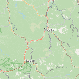
Chapmanville, Ranger, Gill, Wilsondale, Crum, Kiahsville, Dunlow,
Clifford, Glenhayes, Harts, and Breeden.
This includes Route 119 between mile markers 35 and 39.
Instruction:
If outdoors, consider seeking shelter inside a building.
Torrential rainfall is also occurring with this storm and may lead to
localized flooding. Do not drive your vehicle through flooded
roadways.
A Flash Flood Watch remains in effect. Heavy downpours could cause
rapid rises in water. If rising water is observed, move to higher
ground. Do not drive into areas covered by water.
Area Description:
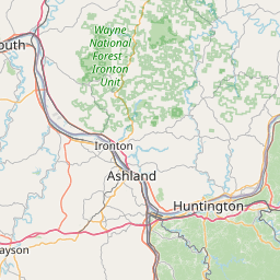
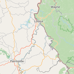
Lawrence; Wayne; Lincoln; Mingo; Logan
Forcast Office:
NWS Charleston WV
Leaflet | OSM Mapnik