
Headline:
Special Weather Statement issued April 6 at 12:18AM CDT by NWS Huntsville AL
Event:
Special Weather Statement
Urgency:
Expected
Effective:
April 5, 2025 - 10:18pm
Expires:
April 5, 2025 - 11:15pm
Description:
At 1218 AM CDT, Doppler radar was tracking strong thunderstorms along
a line extending from 6 miles east of Ardmore to near Tanner to 9
miles southeast of Moulton. Movement was east at 45 mph.
HAZARD...Wind gusts up to 40 mph and pea size hail.
SOURCE...Radar indicated.
IMPACT...Gusty winds could knock down tree limbs and blow around
unsecured objects. Minor hail damage to vegetation is
possible.
Locations impacted include...
French Mill, Trinity, Lim Rock, Valhermoso Springs, Falkville,
Speake, Basham, Harvest, Larkin, and Francisco.
Instruction:
If outdoors, consider seeking shelter inside a building.
Frequent cloud to ground lightning is occurring with these storms.
Lightning can strike 10 miles away from a thunderstorm. Seek a safe
shelter inside a building or vehicle.
A Tornado Watch remains in effect until 300 AM CDT for north central
and northwestern Alabama...and Middle Tennessee.
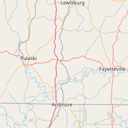
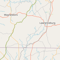
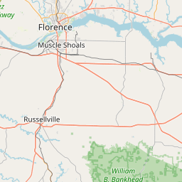
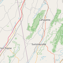
Area Description:
Lawrence; Limestone; Madison; Morgan; Marshall; Jackson
Forcast Office:
NWS Huntsville AL


Leaflet | OSM Mapnik