
Headline:
Special Weather Statement issued April 6 at 4:30AM EDT by NWS Peachtree City GA
Event:
Special Weather Statement
Urgency:
Expected
Effective:
April 6, 2025 - 1:30am
Expires:
April 6, 2025 - 2:00am
Description:
At 430 AM EDT, a line of strong thunderstorms was along a line
extending from Fort Mountain State Park to near North Georgia
Speedway to near Sugar Valley to near Fullerton, and moving east at
25 mph.
HAZARD...Up to 40 mph wind, frequent cloud to ground lightning and
heavy rain.
SOURCE...Radar indicated.
IMPACT...Expect minor damage to tree limbs and blowing around of
light, unsecured objects. Heavy rain may cause temporary
street flooding especially in poor drainage areas.
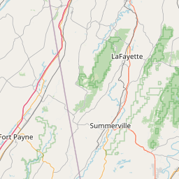
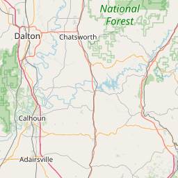
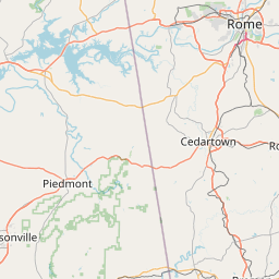
Locations impacted include...
Pinson, Redbud, Shannon, Lake Marvin, Resaca, Rome, Coosa, Oakman,
Fort Mountain State Park, Plainville, Holland, Carters, Ellijay,
Tails Creek, Calhoun, Ramhurst, Oostanaula, Tidings, Armuchee, and
Audubon.
Instruction:
People outdoors should seek shelter immediately. If you can hear
thunder, you are close enough to be struck by lightning. Motorists
should slow down and be prepared for possible loss of control due to
hydroplaning.
A Tornado Watch remains in effect until 1100 AM EDT for northwestern
Georgia.
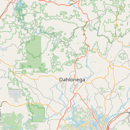
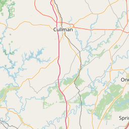
Area Description:
Whitfield; Murray; Gilmer; Chattooga; Gordon; Floyd
Forcast Office:
NWS Peachtree City GA


Leaflet | OSM Mapnik