
Headline:
Special Weather Statement issued April 7 at 2:56PM PDT by NWS Pendleton OR
Event:
Special Weather Statement
Urgency:
Expected
Effective:
April 7, 2025 - 2:56pm
Expires:
April 7, 2025 - 3:45pm
Description:
At 255 PM PDT, Doppler radar was tracking a strong thunderstorm over
Holdman, or 17 miles north of Pendleton, moving northeast at 40 mph.
HAZARD...Wind gusts up to 45 mph and pea size hail.
SOURCE...Radar indicated.
IMPACT...Gusty winds could knock down tree limbs and blow around
unsecured objects. Minor hail damage to vegetation is
possible.
Locations impacted include...
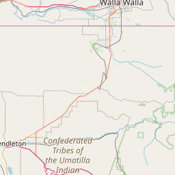
Holdman, Touchet, Lowden, and Helix.
Instruction:
If outdoors, consider seeking shelter inside a building.
Area Description:
Lower Columbia Basin of Oregon; Foothills of the Northern Blue Mountains of Oregon; Lower Columbia Basin of Washington
Forcast Office:
NWS Pendleton OR


Leaflet | OSM Mapnik