
Headline:
Special Weather Statement issued April 14 at 4:06PM CDT by NWS Des Moines IA
Event:
Special Weather Statement
Urgency:
Expected
Effective:
April 14, 2025 - 2:06pm
Expires:
April 14, 2025 - 3:30pm
Description:
At 404 PM CDT, Doppler radar was tracking the leading edge of an
area of showers and a few thunderstorms along a line extending from
Lake Park to 6 miles east of Larrabee to 4 miles north of Danbury.
Movement was east at 45 mph.
HAZARD...Wind gusts of 50 to 55 mph, higher than what has already
been occurring outside of precipitation this afternoon.
SOURCE...Radar indicated.
IMPACT...Gusty winds could knock down tree limbs and blow around
unsecured objects.
Locations impacted include...
Ayrshire, Lytton, Curlew, Sac City, Whittemore, Arthur N Neu Airport,
Pomeroy, Swan Lake, Blackhawk Lake State Park, Black Hawk Lake,
Rinard, Bradgate, Rolfe, Wallingford, Schaller, Havelock, Sexton,
Rutland, Sac City Municipal Airport, and Frank A Gotch State Park.
Instruction:
If outdoors, consider seeking shelter inside a building.
Area Description:
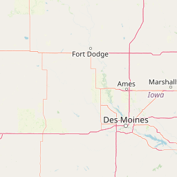
Emmet; Kossuth; Palo Alto; Pocahontas; Humboldt; Sac; Calhoun; Webster; Crawford; Carroll
Forcast Office:
NWS Des Moines IA
Leaflet | OSM Mapnik