
Headline:
Special Weather Statement issued April 15 at 3:40AM CDT by NWS Fort Worth TX
Event:
Special Weather Statement
Urgency:
Expected
Effective:
April 15, 2025 - 1:40am
Expires:
April 15, 2025 - 2:15am
Description:
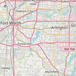
At 339 AM CDT, Doppler radar was tracking a strong thunderstorm over
Mansfield, moving east at 40 mph.
HAZARD...Penny size hail.
SOURCE...Radar indicated.
IMPACT...Gusty winds could knock down tree limbs and blow around
unsecured objects. Minor damage to outdoor objects is
possible.
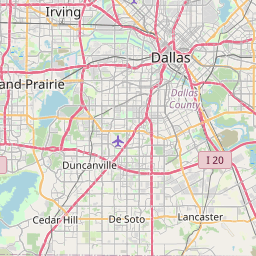
This strong thunderstorm will be near...
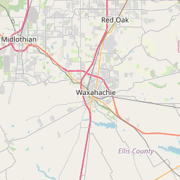
Cedar Hill State Park, Cedar Hill, Grand Prairie, Midlothian, and
Mansfield around 345 AM CDT.
Ovilla and Desoto around 350 AM CDT.
Red Oak, Glenn Heights, and Oak Leaf around 355 AM CDT.
Lancaster around 400 AM CDT.
Other locations impacted by this storm include Pecan Hill, Joe Pool
Lake, Lillian, Ike, and Rockett.
This includes Interstate 35E between mile markers 402 and 416.
Instruction:
If outdoors, consider seeking shelter inside a building.
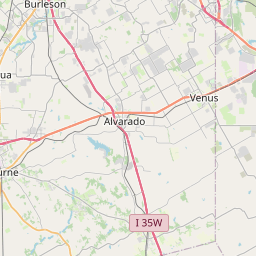
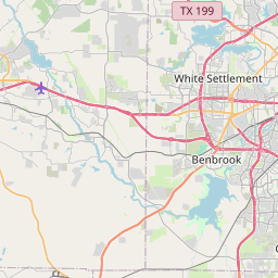
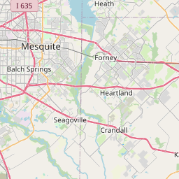
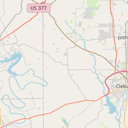
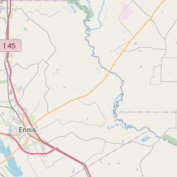
Area Description:
Tarrant; Dallas; Johnson; Ellis
Forcast Office:
NWS Fort Worth TX
Leaflet | OSM Mapnik