
Headline:
Special Weather Statement issued April 15 at 3:23PM EDT by NWS Albany NY
Event:
Special Weather Statement
Urgency:
Expected
Effective:
April 15, 2025 - 12:23pm
Expires:
April 15, 2025 - 1:15pm
Description:
At 323 PM EDT, Doppler radar was tracking gusty showers along a line
extending from Burnt Hills to North-South Lake Campground. Movement
was east at 40 mph.
HAZARD...Wind gusts 40 to 50 mph and pea size hail.
SOURCE...Radar indicated.
IMPACT...Gusty winds could knock down tree limbs and blow around
unsecured objects. Minor hail damage to vegetation is
possible.
Locations impacted include...
Bleecker Stadium, Glenridge, Hoffmans, West Berne, Huntersland, Otter
Hook, Woodruff Heights, Climax, Loudonville, South Schodack,
Helderberg, Hutchinson Crossing, Albany, Clifton Park Center, East
Jewett, Niverville, Mariaville Lake, Zucks Corners, West Township,
and North Schodack.
This includes the following highways...
Interstate 88 between exits 24 and 25.
Interstate 90 between exits 10 and 26.
Interstate 890 between exits 1a and 9.
Interstate 87 between exits 21 and 7, and between exits 8A and 12.
Interstate 787 between exits 1 and 9.
Instruction:
If outdoors, consider seeking shelter inside a building.
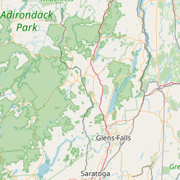
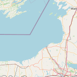
Area Description:
Montgomery; Schoharie; Western Schenectady; Eastern Schenectady; Southern Saratoga; Western Albany; Eastern Albany; Western Rensselaer; Eastern Rensselaer; Western Greene; Eastern Greene; Western Columbia; Eastern Columbia; Southern Washington
Forcast Office:
NWS Albany NY


Leaflet | OSM Mapnik