
Headline:
Special Weather Statement issued April 27 at 12:27AM CDT by NWS Little Rock AR
Event:
Special Weather Statement
Urgency:
Expected
Effective:
April 26, 2025 - 10:27pm
Expires:
April 26, 2025 - 11:00pm
Description:
At 1227 AM CDT, Doppler radar was tracking a strong thunderstorm over
Ingalls, or 15 miles south of Warren, moving east at 15 mph.
HAZARD...Wind gusts up to 50 mph and nickel size hail.
SOURCE...Radar indicated.
IMPACT...Gusty winds could knock down tree limbs and blow around
unsecured objects. Minor damage to outdoor objects is
possible.
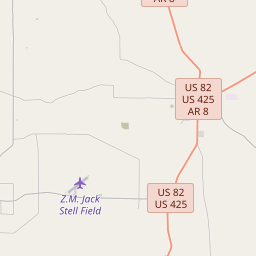
Locations impacted include...
Ingalls... Johnsonville...
Vick...
Instruction:
If outdoors, consider seeking shelter inside a building.
Torrential rainfall is also occurring with this storm and may lead to
localized flooding. Do not drive your vehicle through flooded
roadways.
Frequent cloud to ground lightning is occurring with this storm.
Lightning can strike 10 miles away from a thunderstorm. Seek a safe
shelter inside a building or vehicle.
This storm may intensify, so be certain to monitor local radio
stations and available television stations for additional information
and possible warnings from the National Weather Service.
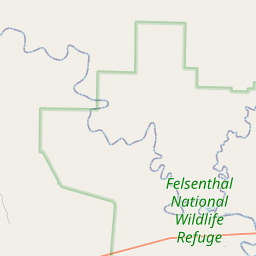
Area Description:
Bradley
Forcast Office:
NWS Little Rock AR


Leaflet | OSM Mapnik